Yatomae River(谷戸前川)April 19, 2025

Bankside roses (mokkōbara) blooming along the Yatomae River. When I leaned in for a photo, I caught their gentle fragrance.
Where I Walked
Google Maps sometimes doesn’t show crosswalks correctly when plotting a walking route, so a few sections end up with unnecessary detours.
The cherry blossoms were past their peak, but…
They still carried a trace of the full bloom that had just passed.
I wonder how many years it’s been since I last came to see the cherry blossoms along the Meguro River.

I think the waterway outlet visible on the opposite bank is probably the mouth of the Yatomae River.

I made a little detour and went under the bridge to reach the other side — and there were Keith Richards and Bill Wyman, saying hello in French.

A narrow, snake-like river winds quietly through the residential neighborhood. You can feel the gentle flow of water as it passes through. In this area, the left side as you head upstream rises into a slope or cliff.


There’s a short tributary running along the base of the slope, and it seems to reach its uppermost point near a set of steps. Water seeps out from the cliffside — as if the river is still alive beneath it all. Humans may have confined it in concrete, but the presence of the river can still be felt.

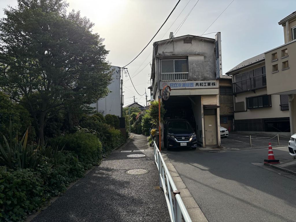
The Yatomae River flows along the left side of the building. The road to the right slopes gently upward, and the river quietly finds its path along the lower ground.


From around here, azalea bushes start to appear.

Wisteria in bloom. Today, it seemed that the flight path to Haneda passed right over Meguro — planes were flying overhead one after another.


There’s a park at the top of the slope, and I can hear the cheerful voices of children playing.


The river passes through a five-way intersection, then flows on, curving gently to the left.

The land to the right of the building slopes gently downward, so the river shifts its course to the right.

Shizenen (Nature Garden)
Though the "Shizenen" no longer exists today, its name lives on at the nearby bus stop Shizenen-shita ("Below the Nature Garden").
The original Shizenen was a nature-based health and wellness facility established during the Taisho era (1912–1926).
At that time, the area was rich in natural beauty, with clear streams and expansive rural landscapes. Believing that contact with nature was essential for urban dwellers to maintain a healthy life, agricultural scholar Hikozō Okami created the Shizenen around 1915.
It was located in what is now 5-chome, Nakameguro (blocks 12–20) and covered about 8,300 tsubo (approximately 27,000 square meters).
Within the garden, vegetable and strawberry fields provided fresh produce, while a grassy lawn allowed visitors to run, lie down, and enjoy direct contact with nature.
There was also a tennis court — a sport admired by young people at the time — and even a goat farm where visitors could drink goat’s milk, which was considered a delicacy back then.
As the area underwent urban development, the garden closed around 1925, but it remains a noteworthy example of an early 20th-century facility that promoted health based on new ideas for its time.

It’s interesting how the river is actually wider than the road in this area.


The river flows beside the Yūtenji-ura bus stop. I’ll stop by Yūtenji Temple on the way back.

The ankyo here has been turned into a small flower bed maintained by a nearby resident.

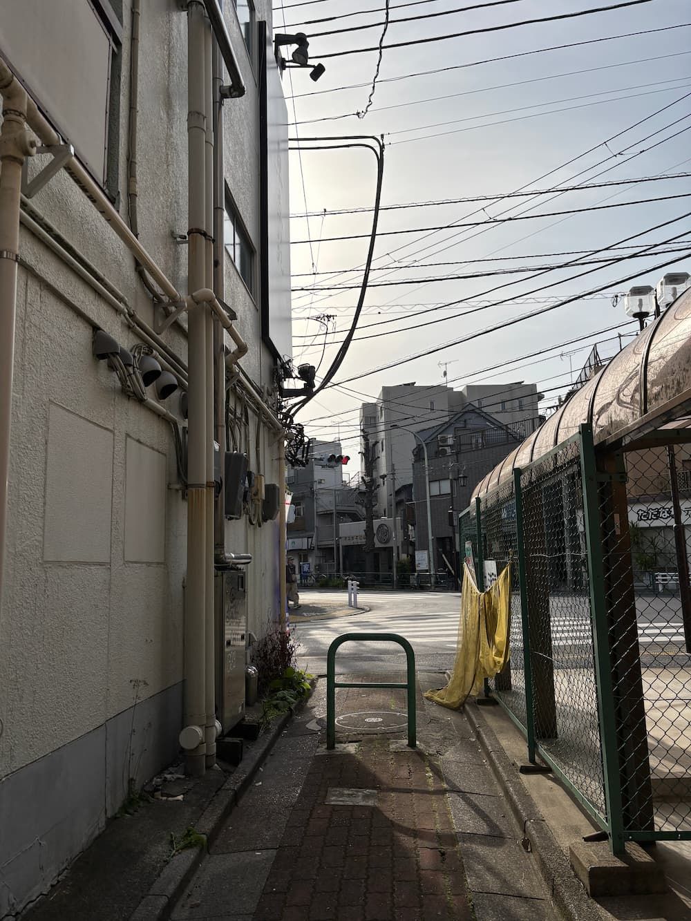
I arrived at the uppermost point of the river, but there was nothing left to suggest what it once was.


I stopped by Yūtenji Temple for the first time. The cherry blossoms had already fallen, as expected, but the wisteria was in full bloom.