Unnamed Stream in Kashima Valley(鹿島谷の無名暗渠) October 16, 2026
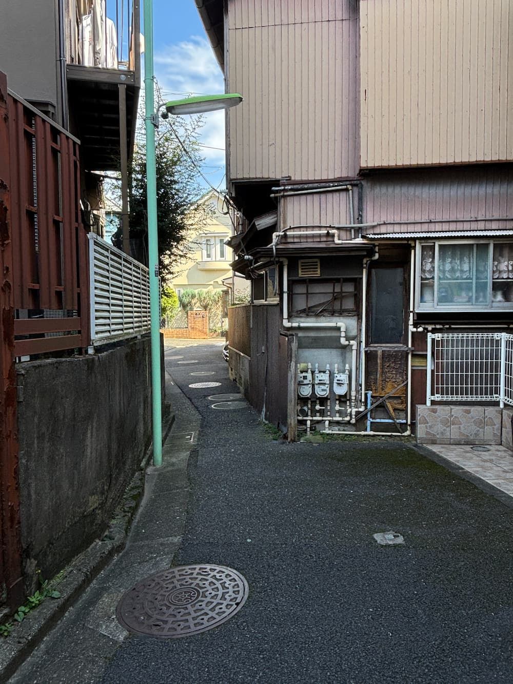
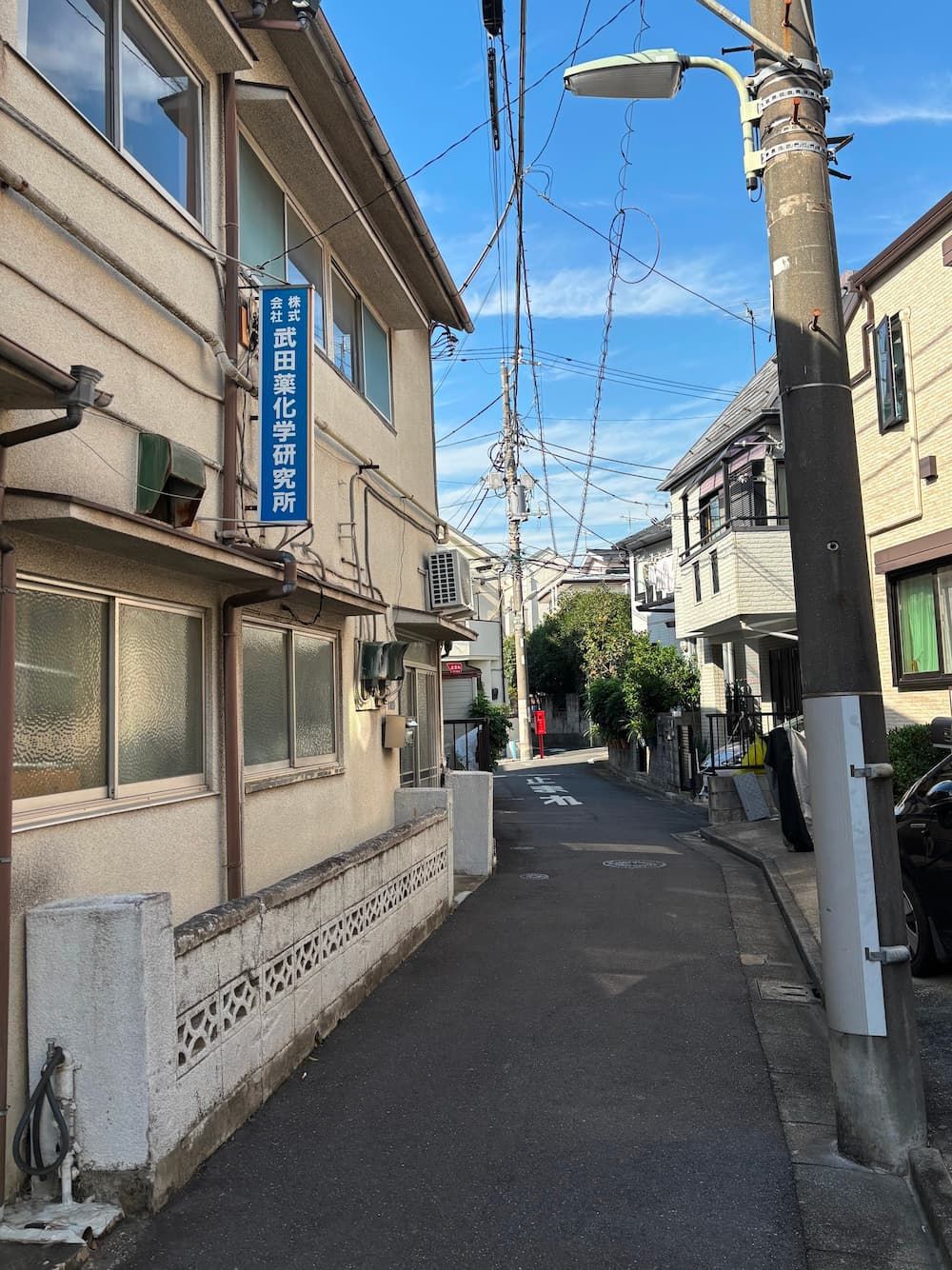
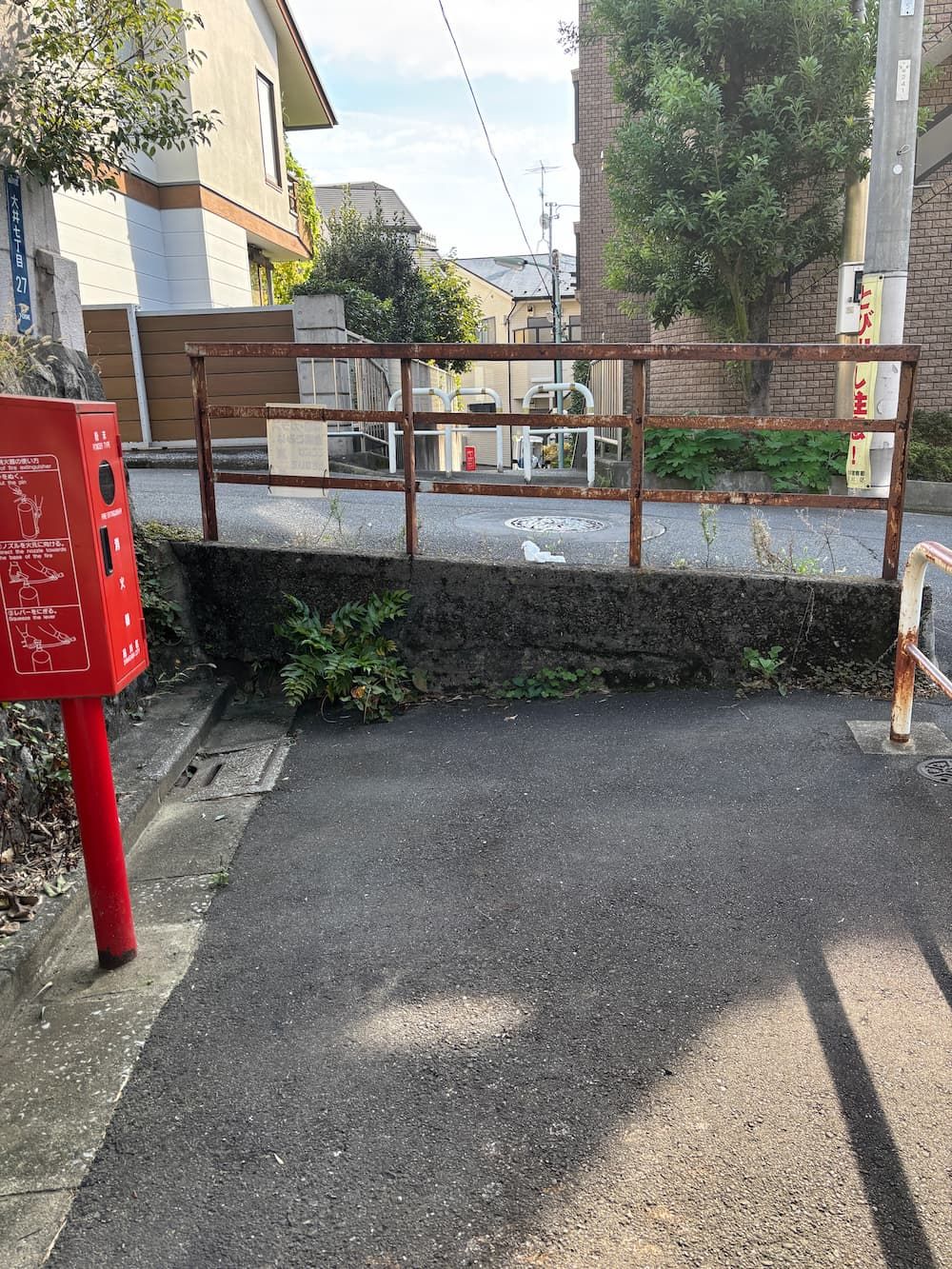
During this walk, I came across quite a few spots where the already narrow path became even narrower.
Where I Walked
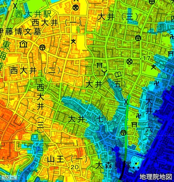
A Valley Beside the Birthplace of Japanese Archaeology
I set out to find the two sources of the stream that flows through Kashima Valley.
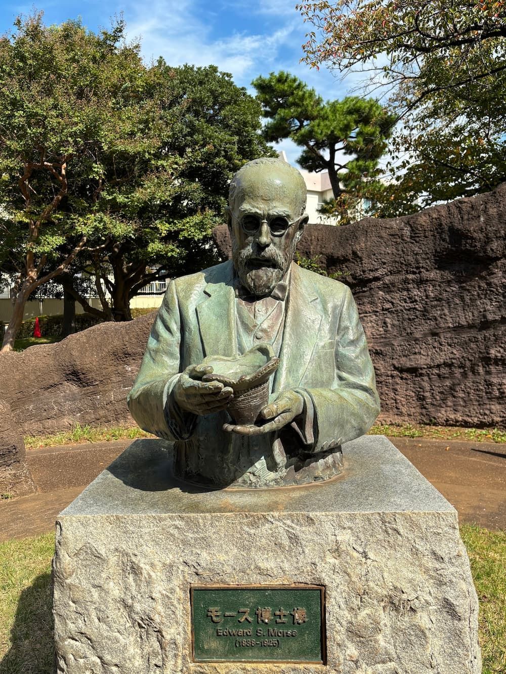
Edward Sylvester Morse (1838–1925) was an American zoologist who came to Japan in 1877 to study marine life.
While traveling by train from Yokohama to Tokyo, he noticed a layer of shells exposed on a slope beside the railway tracks.
This led to the discovery of the Ōmori Shell Mounds, a prehistoric site dating back to the Jōmon period.
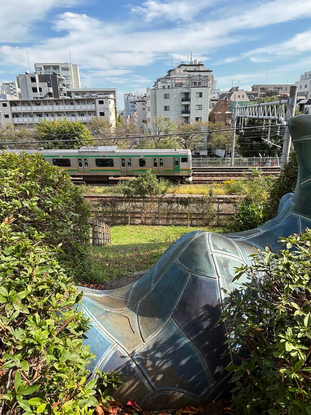
The view from the slope that Morse once saw from his train window.
Trains must have traveled at a leisurely pace back then, slow enough for him to spot the shell mound from a passing train.
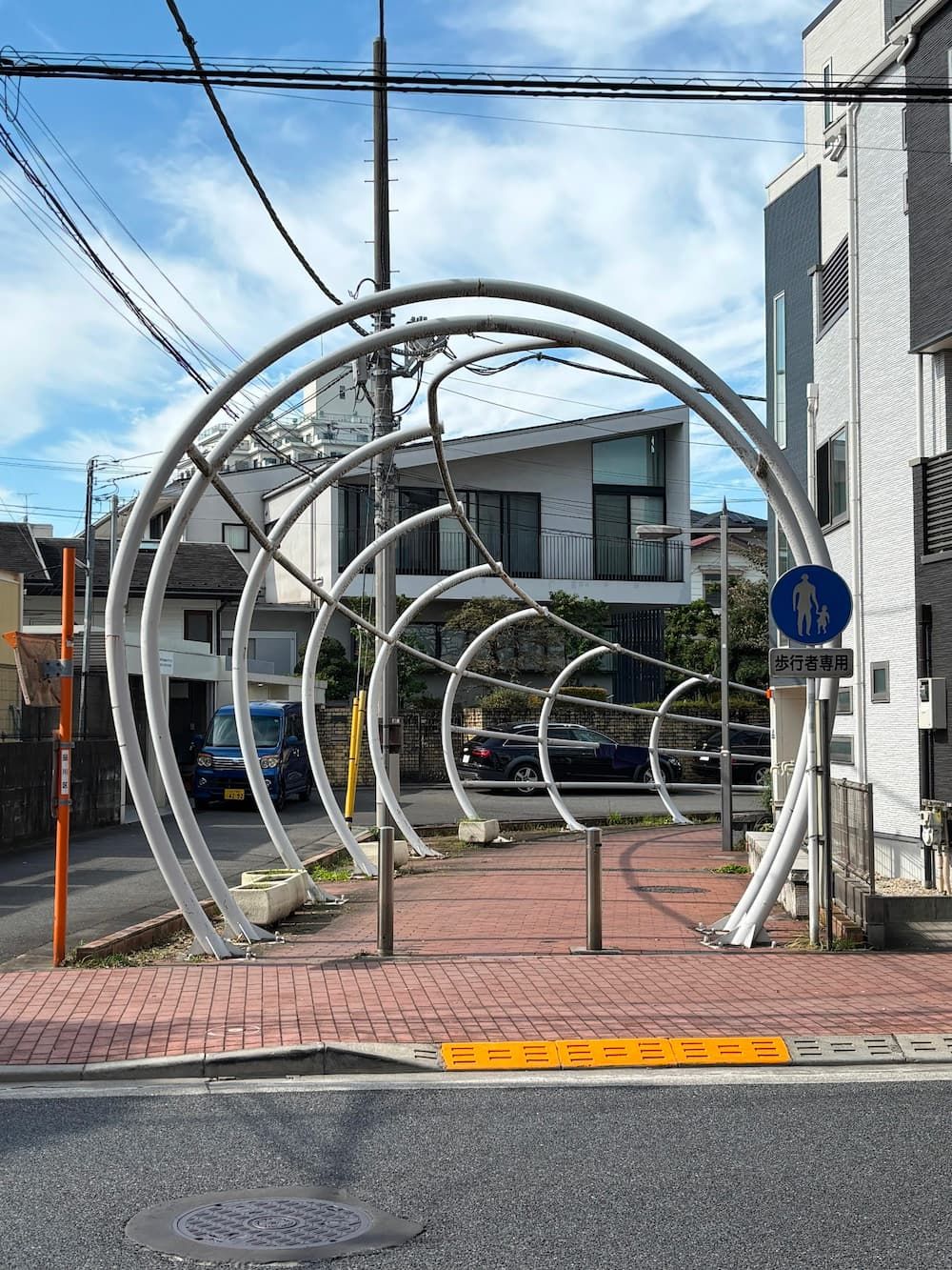
An unusual series of white metal arches welcomes walkers into the hidden waterway from Ikegami-dōri.
It feels like a gateway to a forgotten stream.
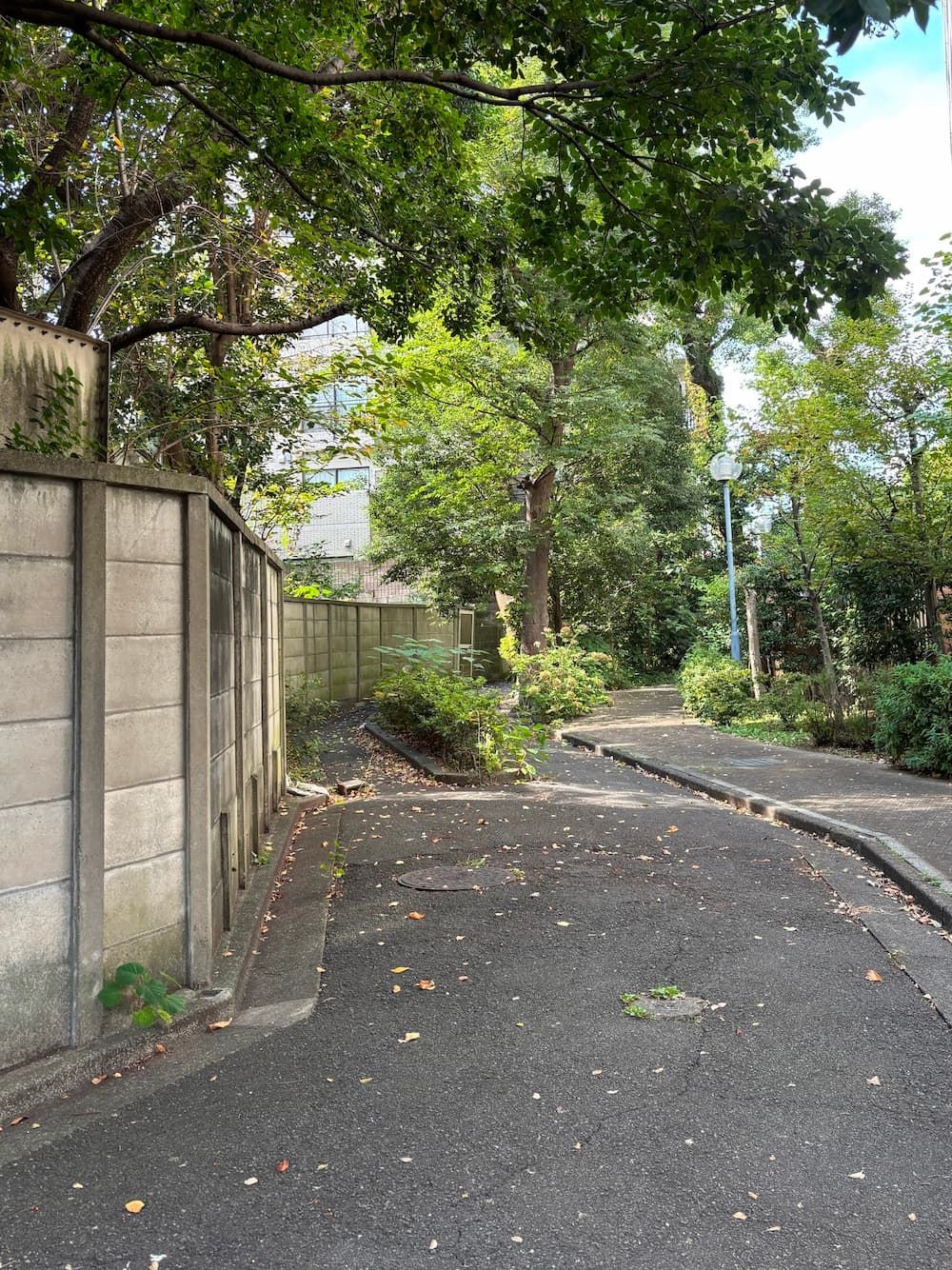
On the other side of Ikegami-dōri, the stream still flows down the steep slope.
The path comes to a dead end at the railway tracks ahead.
I decide to make my way to the other side of the tracks later and continue my exploration from there.
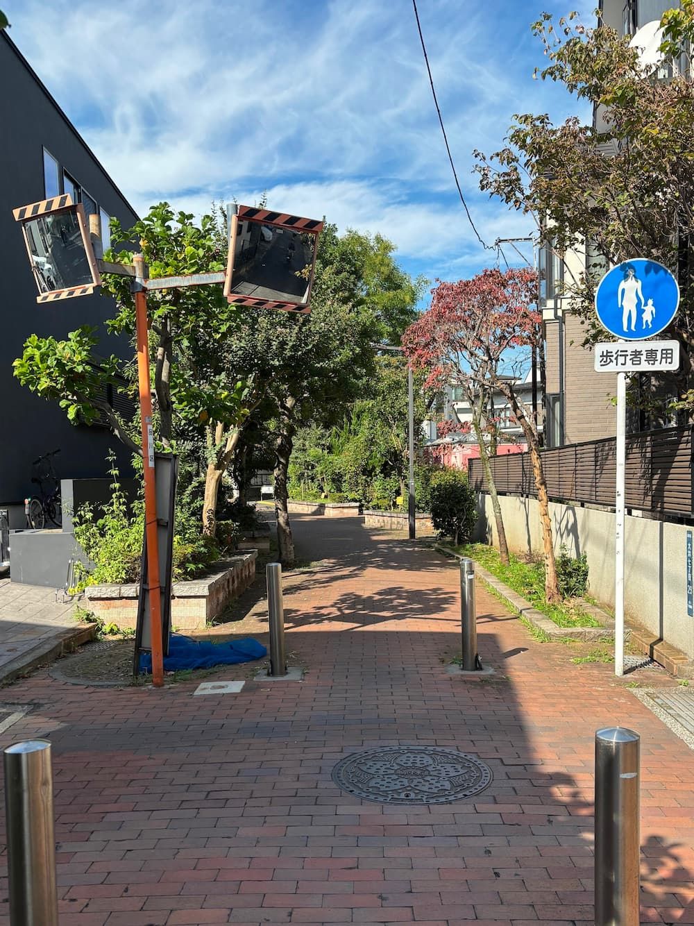
Beyond the tunnel, the pedestrian-only path continues for a while.
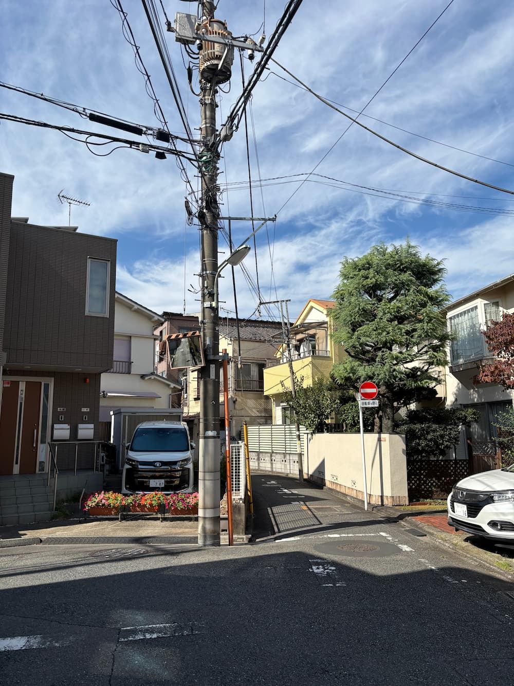
The path narrows as I head upstream.
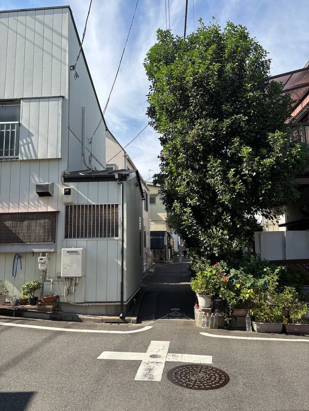
Here, the path becomes even narrower.
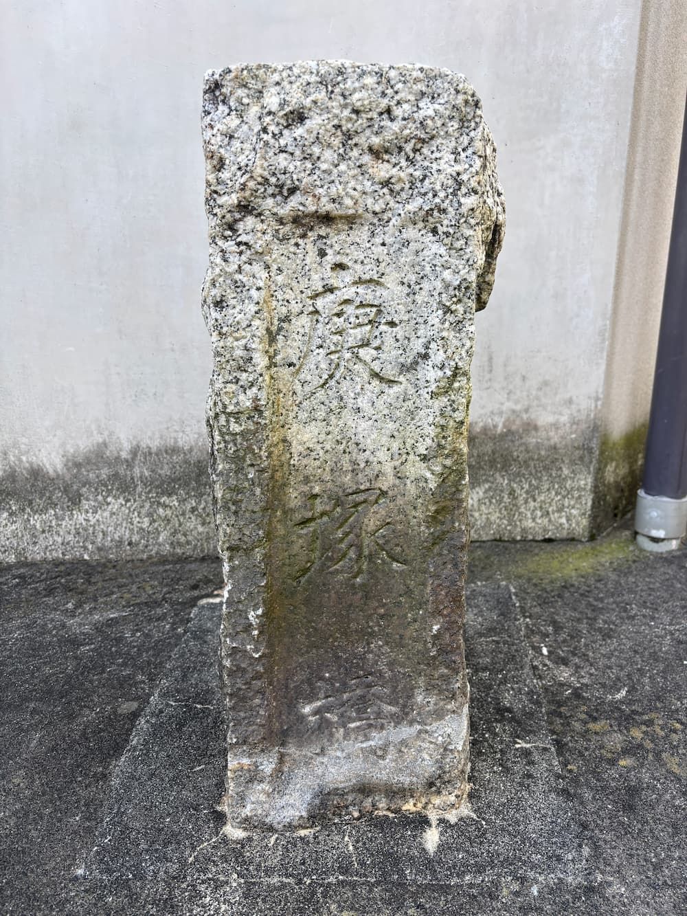
An old bridge post from Kanoezuka Bridge (庚塚橋) still stands here, a reminder of the stream that once flowed through this spot.
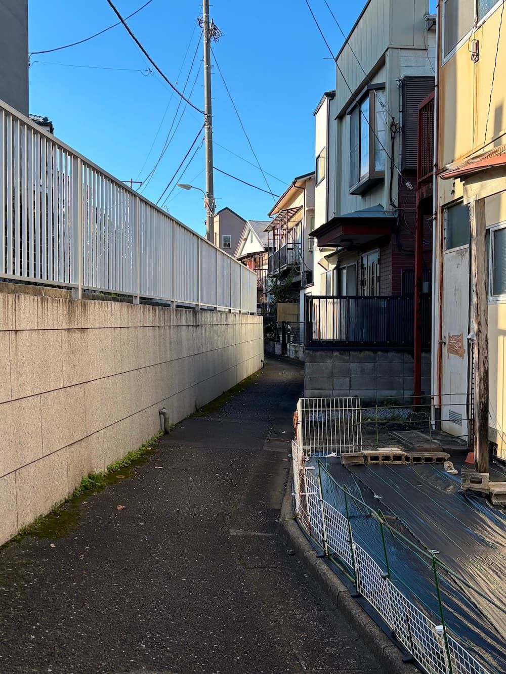
Near Kanoezuka Bridge, traces of a branch of the former stream can be found.
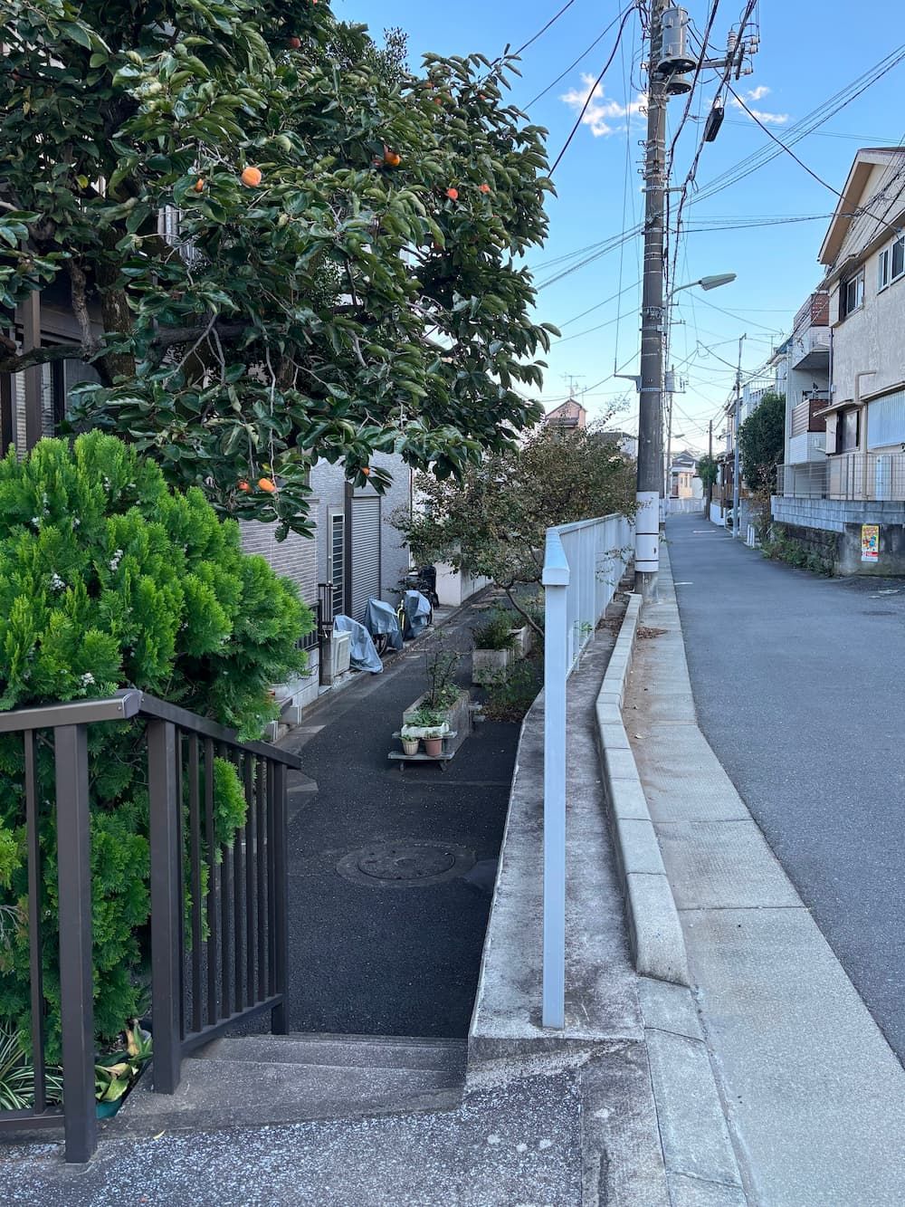
The branch once flowed at a slightly lower level than the road.
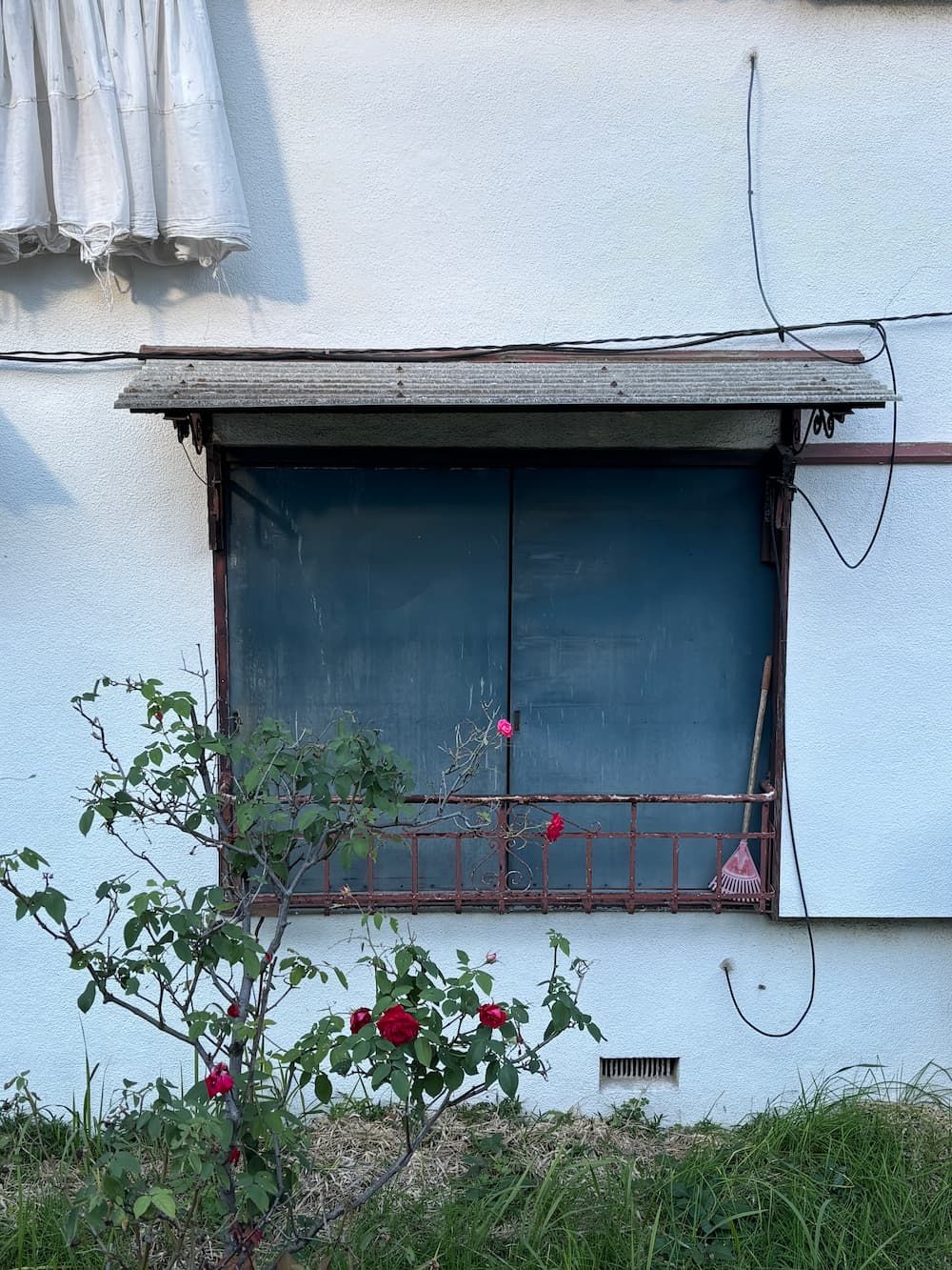
A touch of wabi-sabi in the old houses along the hidden waterway.
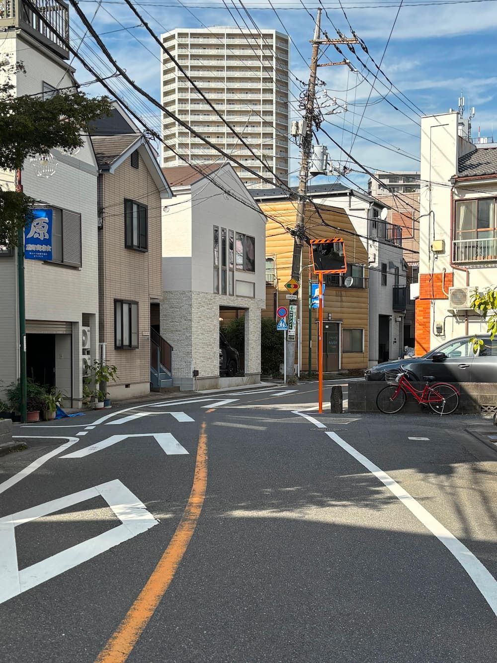
According to the map, the waterway once turned left here.
The road widens oddly on the right, and a small stone post still stands at the base of a traffic mirror.
Perhaps these are traces of the former waterway.
A little farther along the path, I reach the point where the waterway once branched off from the Shinagawa Irrigation Canal.
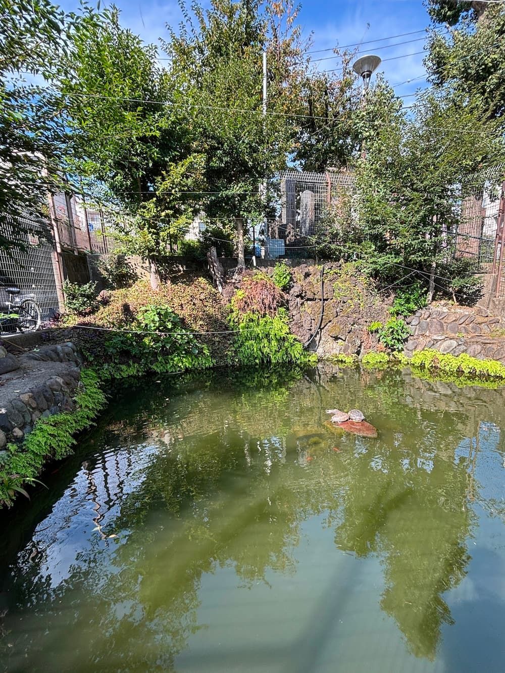
Near the waterway connected to the Shinagawa Irrigation Canal is another waterway that originates at Suijin Pond, at the head of the valley.
Suijin Pond is a spring-fed pond where farmers in the former village of Ōi once washed their vegetables before sending them to market.
Water still wells up from the ground today.
Beside the pond stands a small shrine built in 1879, dedicated to the deity of water.
The spring water was also believed to have healing powers for eye ailments, and those who recovered would release carp into the pond as an offering of gratitude.
While most of these traditional washing places disappeared as the area became urbanized, Suijin Pond and its shrine have been preserved by local residents, offering a glimpse into the rural life and folk beliefs of the past.
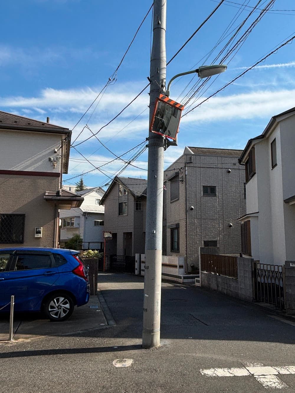
A utility pole stands oddly in the middle of the road. I wonder if it was originally placed there to avoid the waterway.
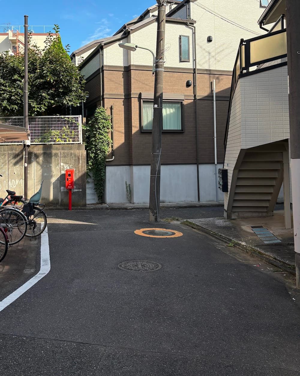
Here, the waterway once met another stream flowing from a different source.
Perhaps that explains the unusual position of the utility pole.
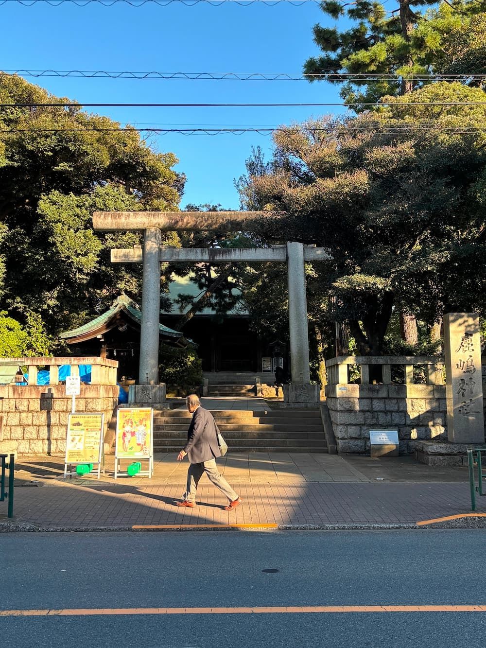
Founded in 969, Kashima Shrine has a history stretching back more than a thousand years.
It was established as a branch shrine of Kashima Jingū in Ibaraki Prefecture and served as the guardian shrine of the former village of Ōi.
It is known for offering blessings for safe travel.
The current main sanctuary was built in 1931, while the older sanctuary, dating back to 1862, is still preserved within the shrine grounds.
The spacious, wooded grounds are home to several trees around 200 years old, as well as a monument commemorating the Shinagawa Irrigation Canal.
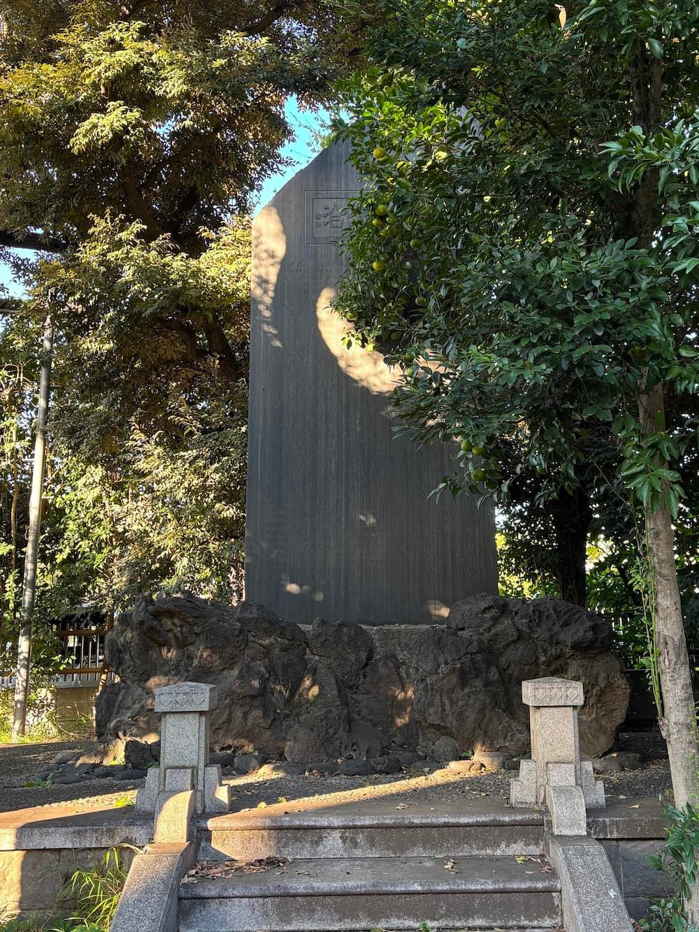
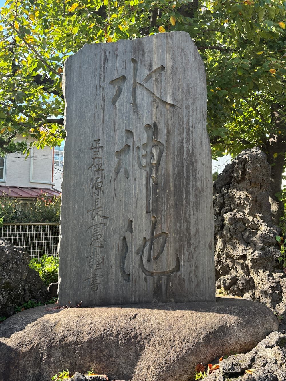
Within the grounds of Kashima Shrine stands a massive stone monument commemorating the Shinagawa Irrigation Canal, measuring 5.3 meters in height and 2.4 meters in width.
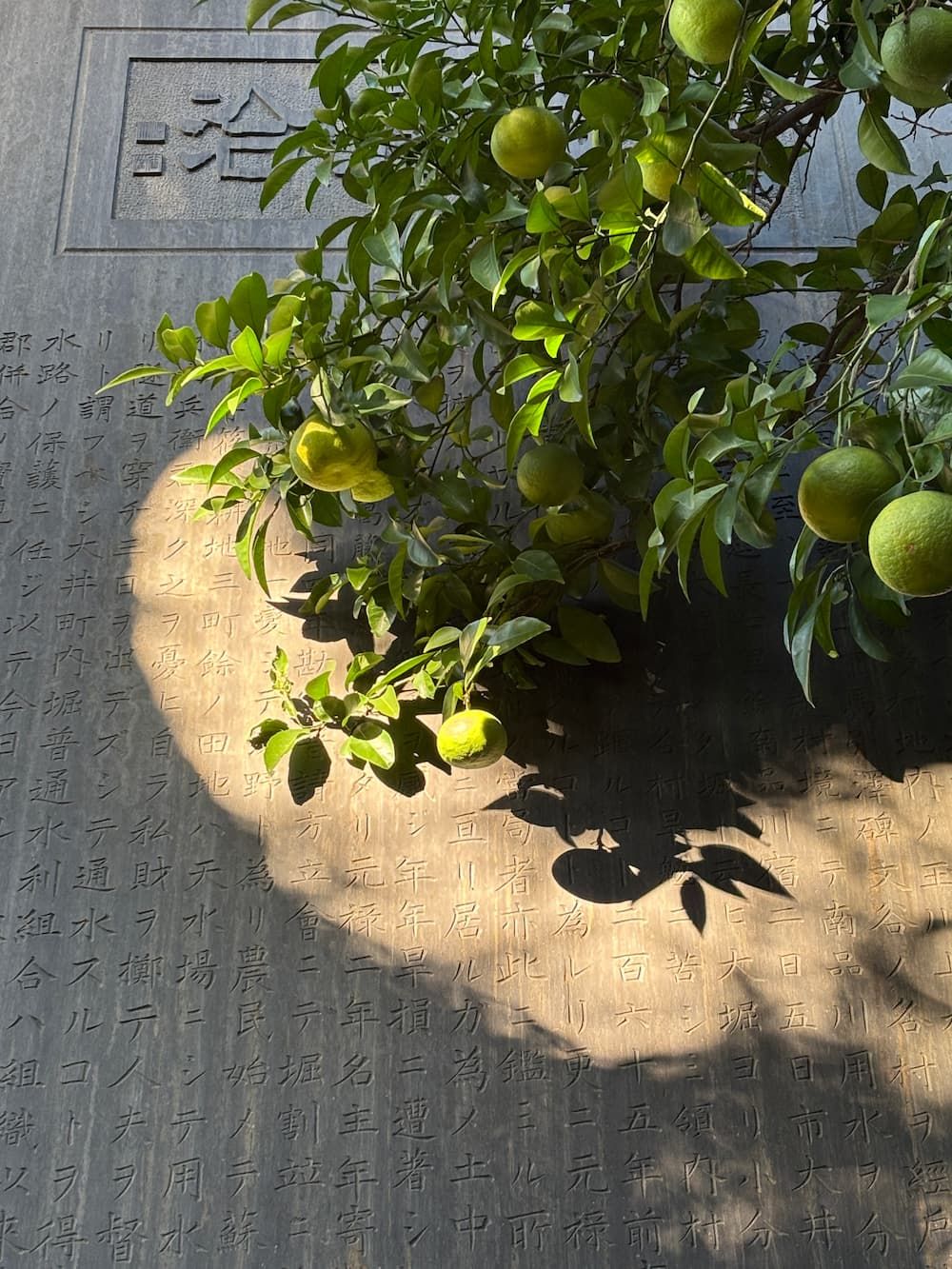
The canal drew water from the Tamagawa Aqueduct via the Sengawa Irrigation Canal and played a vital role in the development of rice fields across the Meguro and Shinagawa areas.
However, as urbanization progressed from the Meiji period onward, the canal gradually lost its original purpose.
The monument was erected in 1932 to commemorate the benefits the canal had brought to the local community and to preserve its history for future generations.
The inscription “Keitaku Jungō” expresses the abundant blessings the water brought to the land and its people.
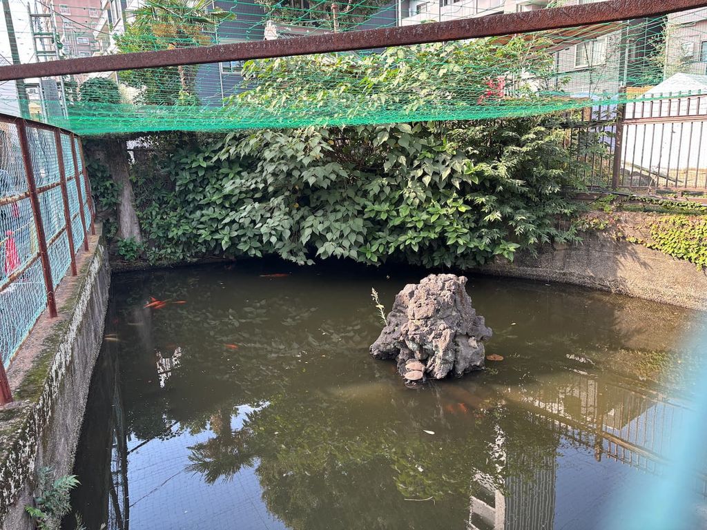
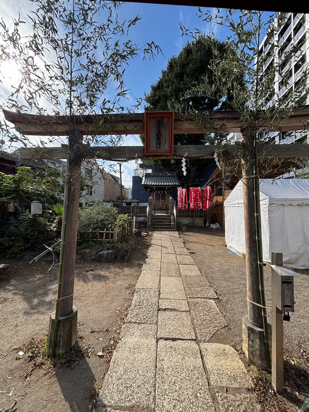
After walking a little farther, I come across a pond near the Takiōji Inari shrine.
Looking at the landscape today, it's hard to imagine that this is the head of a valley.
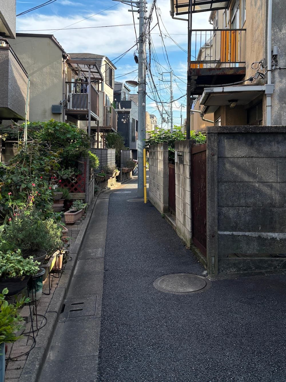
The already narrow path repeatedly becomes even narrower before widening again.
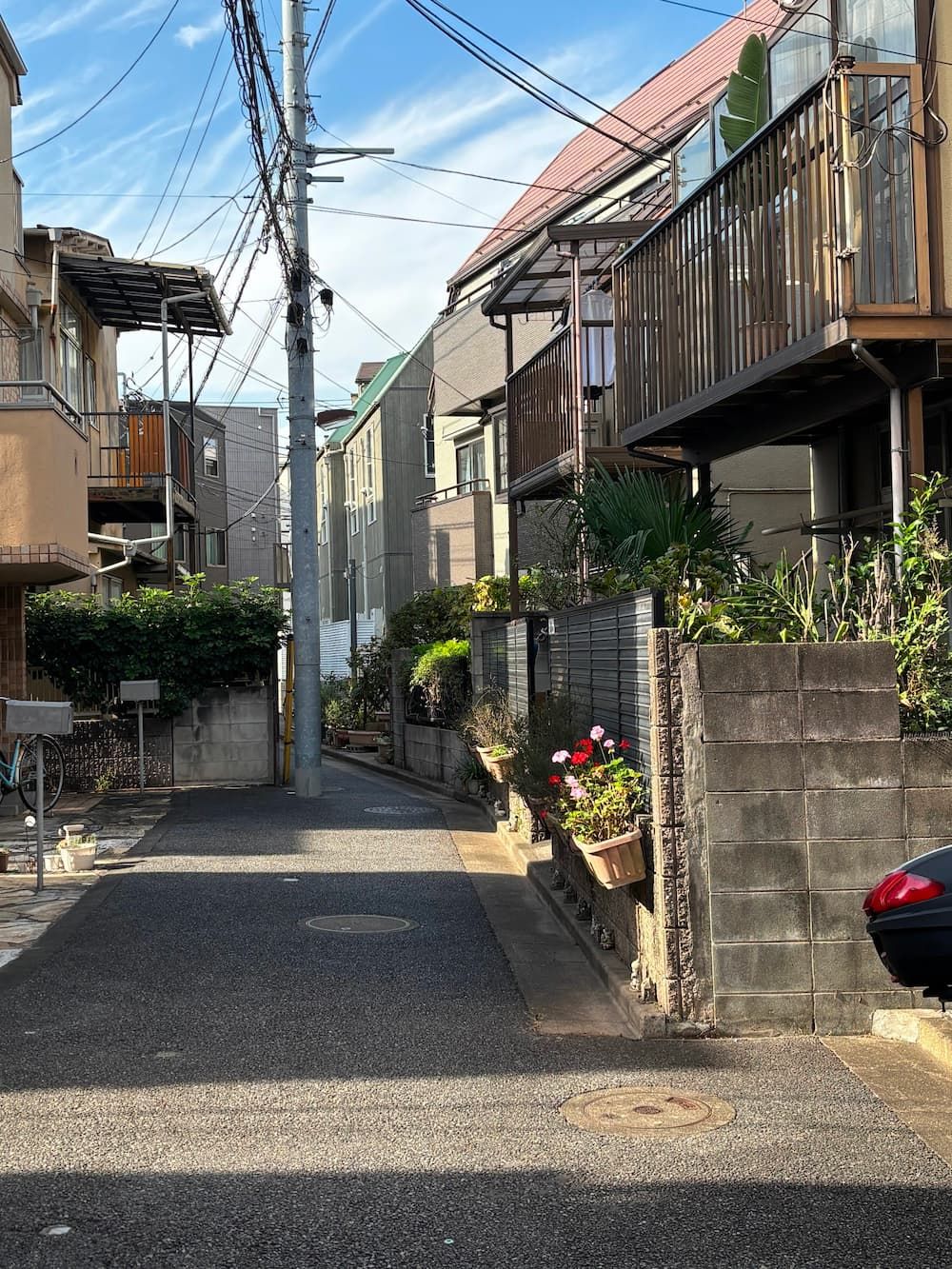
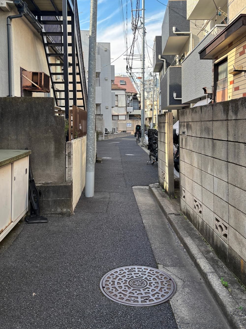
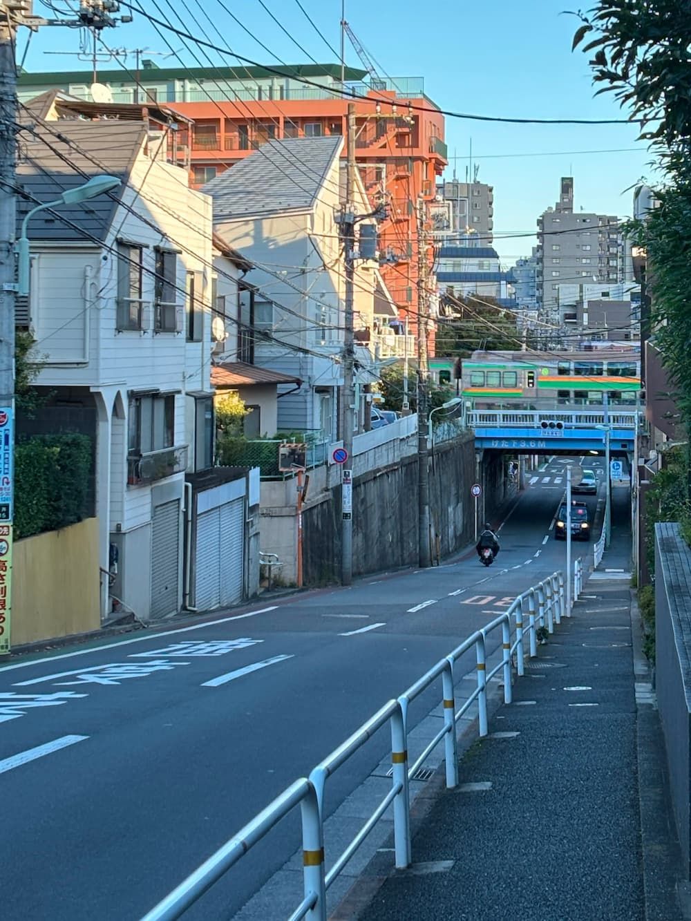
I head down the slope to get to the other side of the railway tracks.
It seems that long ago, the sea once reached as far inland as the foot of this slope.
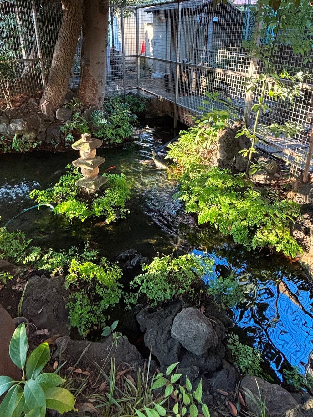
At the foot of the slope stands Ōi Suijin Shrine.
Ōi Suijin Shrine was founded in 1685 to honor the deity of water and pray for an abundant water supply.
A natural spring at the edge of the Musashino Plateau, known as Yanagi no Shimizu (Willow Spring), once provided local residents with drinking water and water for irrigation.
The spring never dried up, even during droughts.
Farmers from nearby villages would gather here to pray for rain and carry spring water back to their fields.

The apartment building beside Suijin Shrine curves along the course of the former stream.
What's fascinating is that by looking up, you can trace the meandering course of the lost stream against the sky.
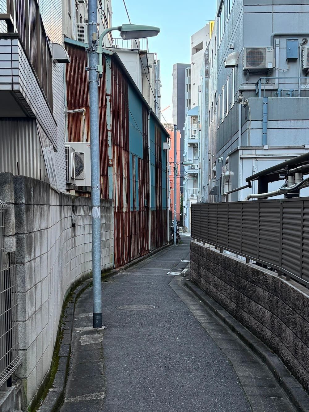
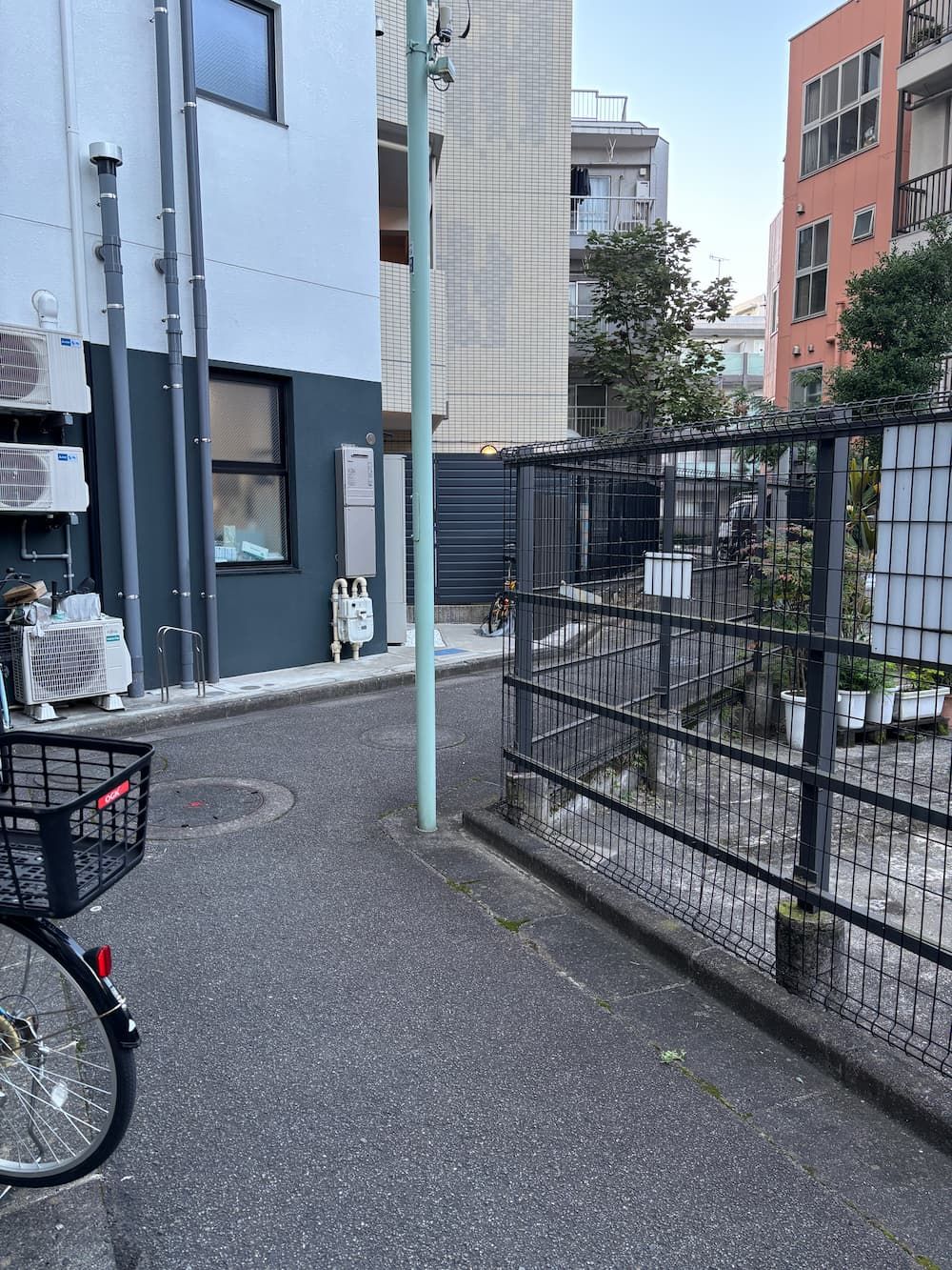
The route of the former waterway continues on the other side of the railway tracks.
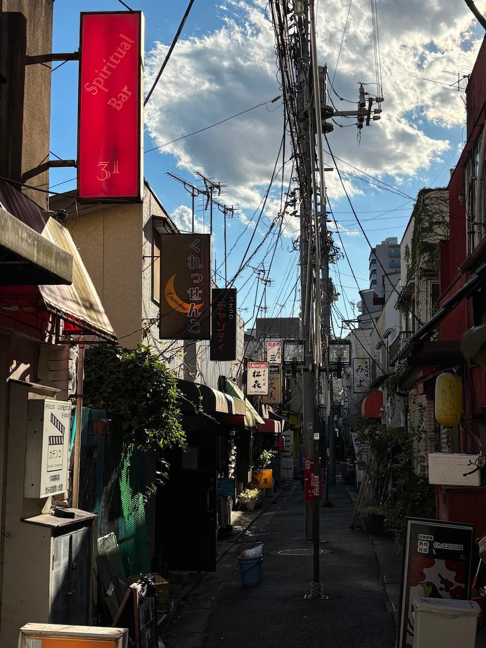
On my way back to Ōmori Station, I discover a narrow alley at the foot of the escarpment between the railway tracks and Ikegami-dōri.
I imagine this alley has a lovely atmosphere at night when the lanterns are lit.