Rokugo Irrigation Canal(六郷用水) May 31, 2026
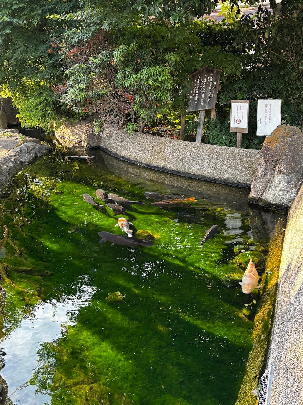
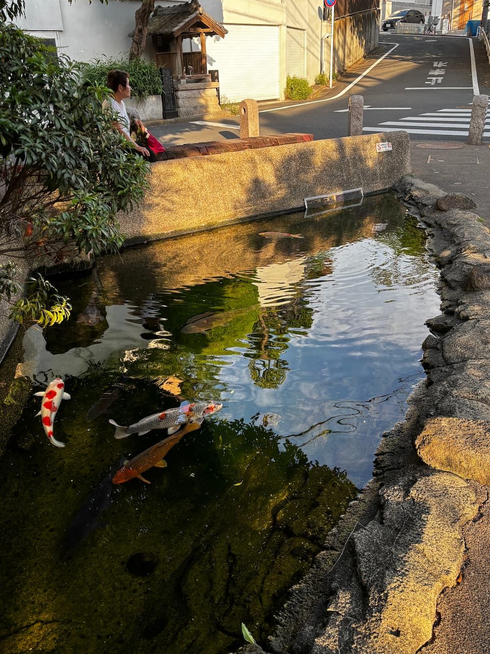
The pond was bathed in the soft light of late afternoon, and the scene was quietly beautiful.
Where I Walked
The hydrangeas in a nearby park were at their peak, so I went out to photograph them. Afterwards, I wandered a little farther to capture some of the scenery shaped by the former Rokugo Irrigation Canal.
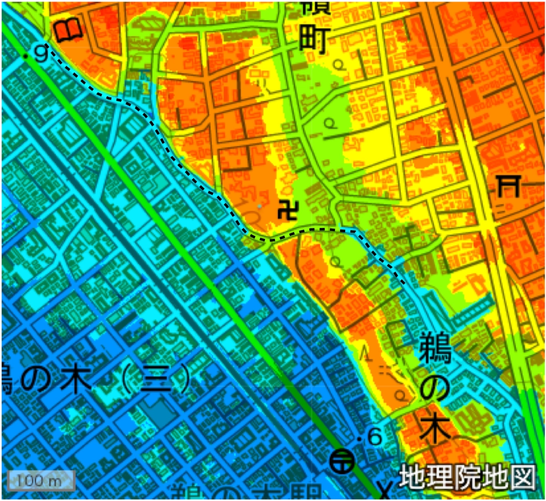
I visited one of the most challenging sections of the Rokugo Irrigation Canal.
Gathering spring water from the foot of the escarpment, the Rokugo Irrigation Canal flowed along the cliff before passing through Mine-no-Kiritoshi and emerging on the other side of the hill.
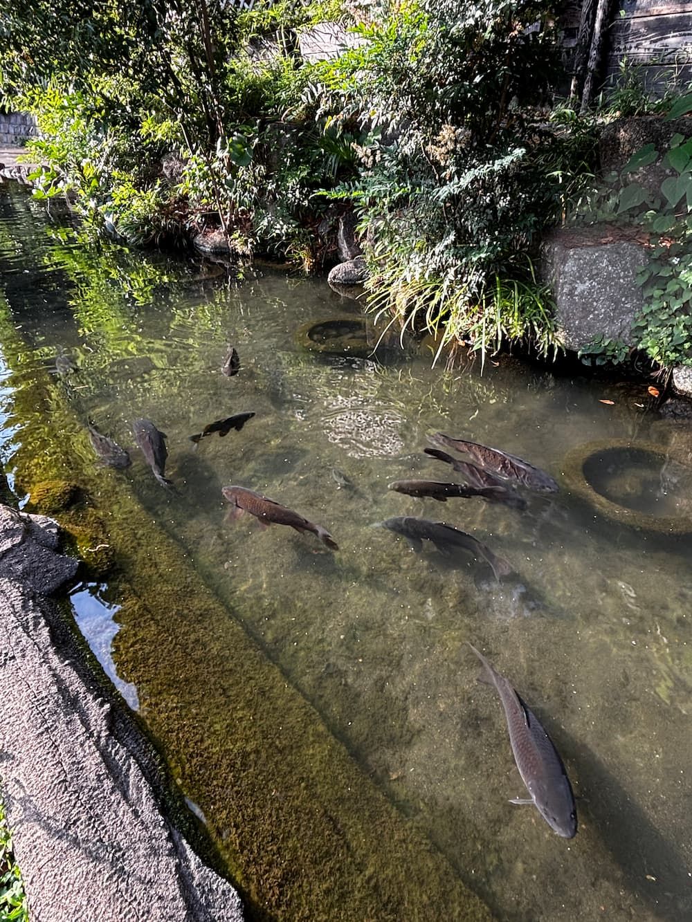
Here, the restored flow of the canal is sustained by spring water emerging from the cliff.
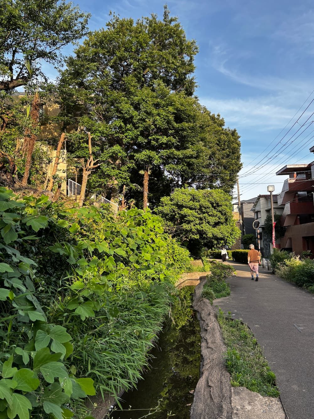
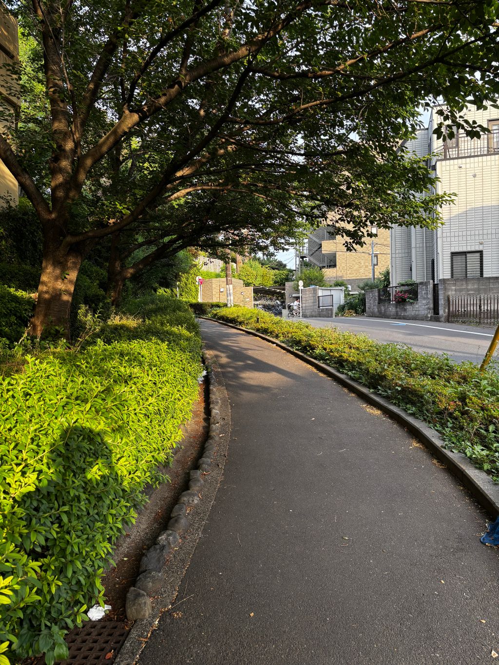
From around this point, the road begins to climb gently.
The Rokugo Irrigation Canal appears to have flowed well below the level of the road.
Today, the canal has been filled in, so it is no longer possible to see what it once looked like.
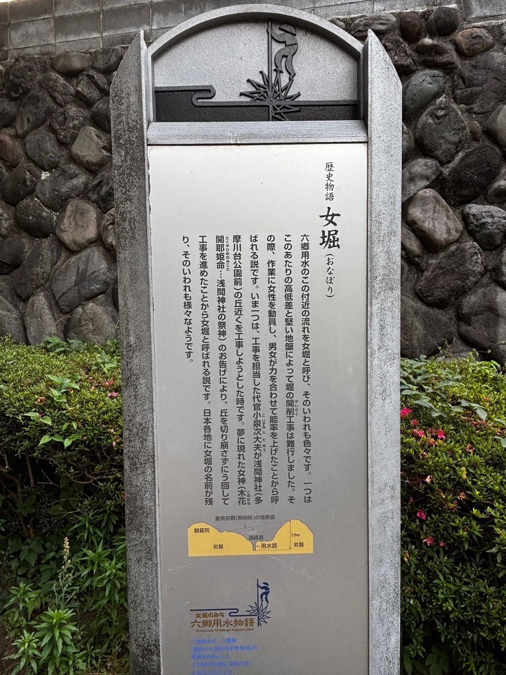
The sign explains two possible origins of the name Ona-bori.
This difficult section of the Rokugo Irrigation Canal is known as Ona-bori, or “Women’s Moat.” One theory says that women were recruited to help excavate the hard ground, while another links the name to a local legend in which the goddess of nearby Sengen Shrine appeared to the canal’s builder in a dream and guided him to reroute the waterway around the hill.
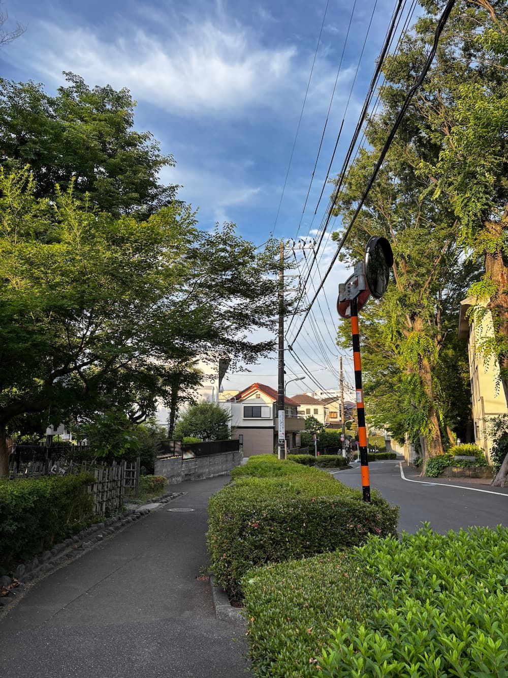
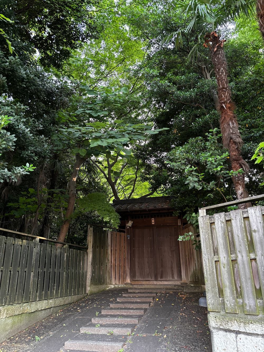
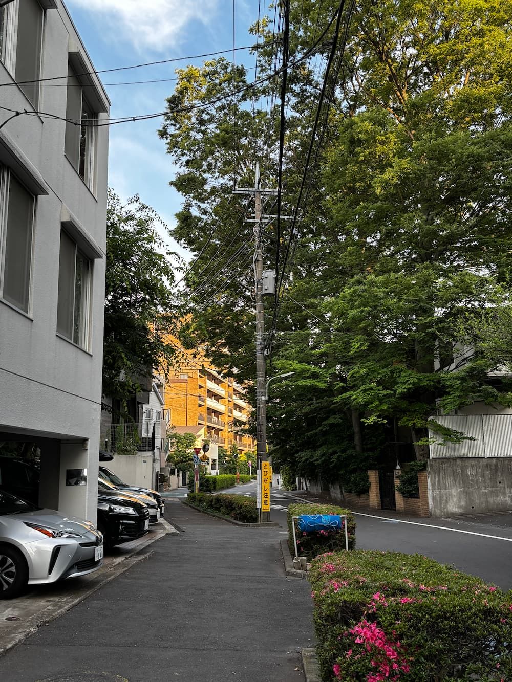
There are many large, mature trees in this area.
The site of the brown apartment building in the distance was also once covered by a dense grove of tall trees.
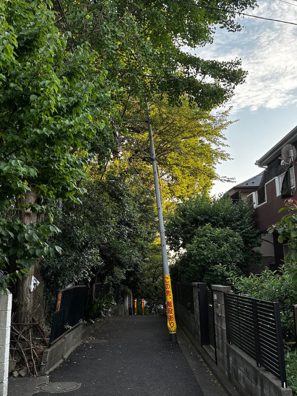
To head back home, I climbed a narrow path over the hill.
A sign on a utility pole warned, "Stairs Ahead.”
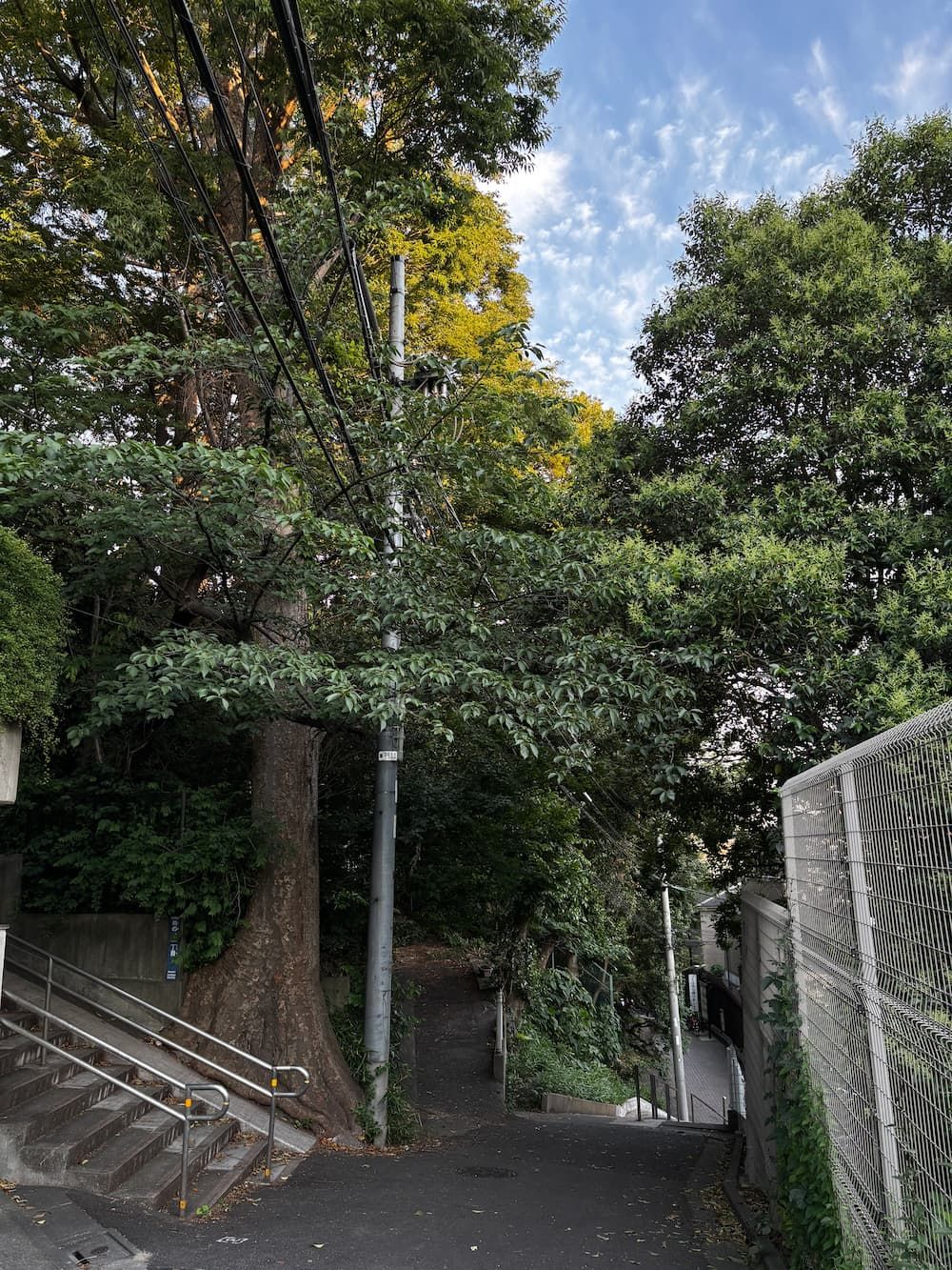
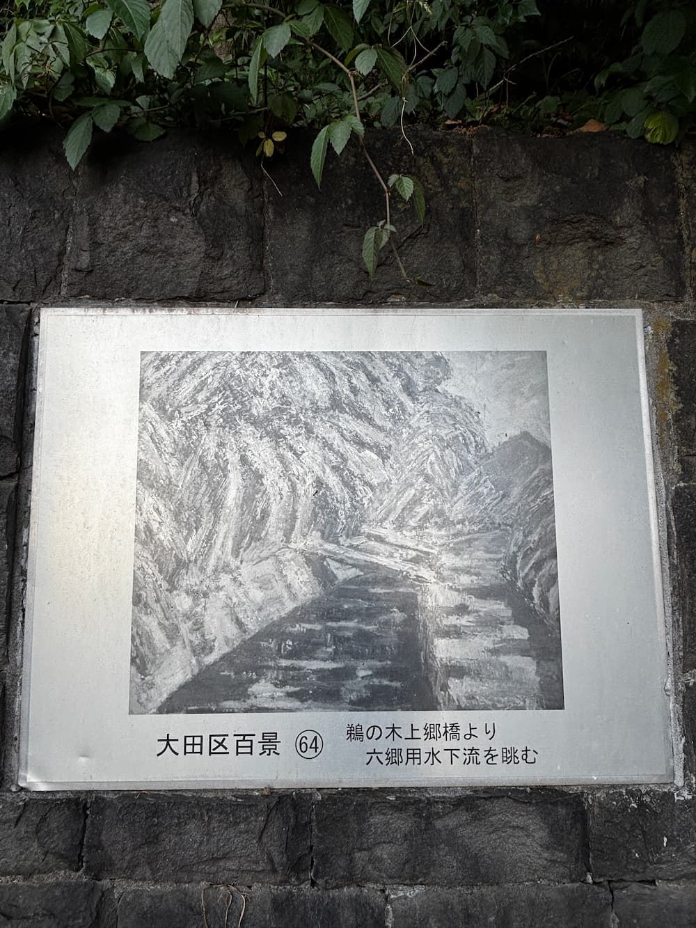
At the entrance to Matsuyama Park, at the bottom of the stairs, I found a painting depicting what this area once looked like.
Its title is "Looking Downstream Along the Rokugo Irrigation Canal from Kamigo Bridge, Unoki.”