Nakamaruko-bori Branch(中丸子堀)September 13, 2026
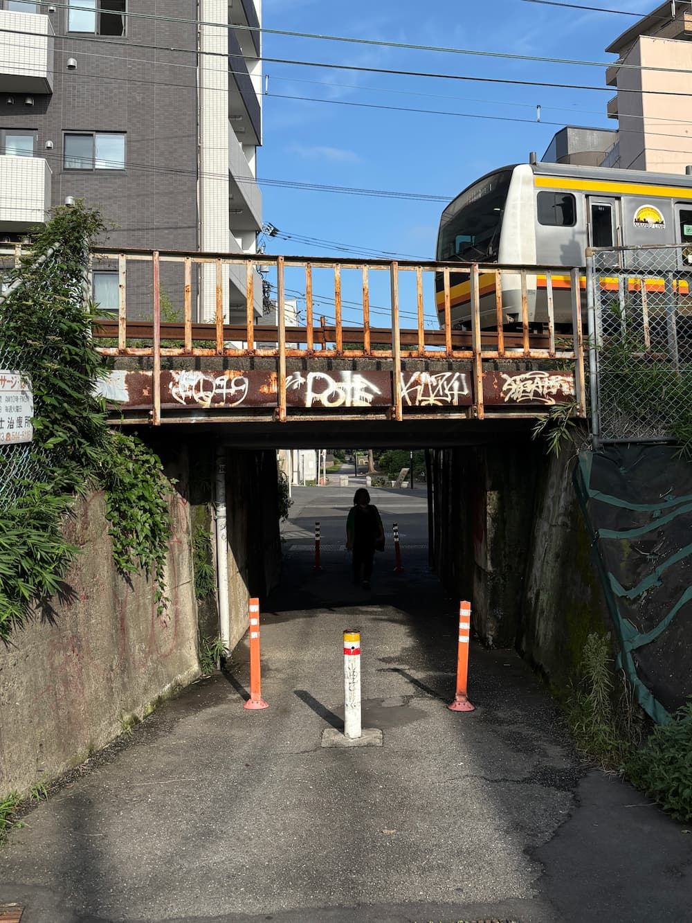
The Nambu Line crosses numerous waterways that crisscross the area like a web.
Where I walked
Google Maps sometimes doesn’t show crosswalks correctly when plotting a walking route, so a few sections end up with unnecessary detours.
Unexpected Encounters with the Past
Crossing the Tama River into Kanagawa, I set out to explore the traces of Nakamaruko-bori, a branch of the Nikkaryō Irrigation Canal that once supplied water to the surrounding farmland.
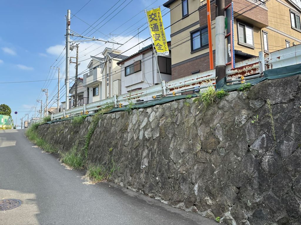
I had passed this stone wall many times on my bicycle and always knew it was there, but it was only during this exploration that I learned about the local history behind it.
I also discovered that it even had a name: the Ariyoshi Embankment.
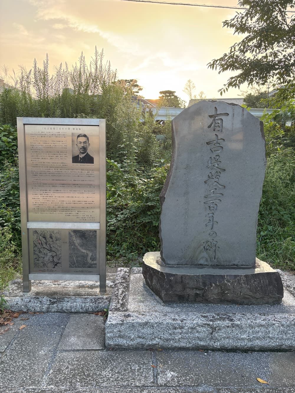
A little farther along the former waterway, there is a stone monument in a park commemorating the Ariyoshi Embankment.
The embankment was built in 1916 to protect local communities from the frequent flooding of the Tama River.
Its construction followed the Amigasa Incident of 1914, when hundreds of local residents, wearing traditional woven hats, marched to the Kanagawa Prefectural Government to demand better flood protection.
The embankment was named after Chūichi Ariyoshi, the governor of Kanagawa at the time, who pushed the project forward in response to their demands.
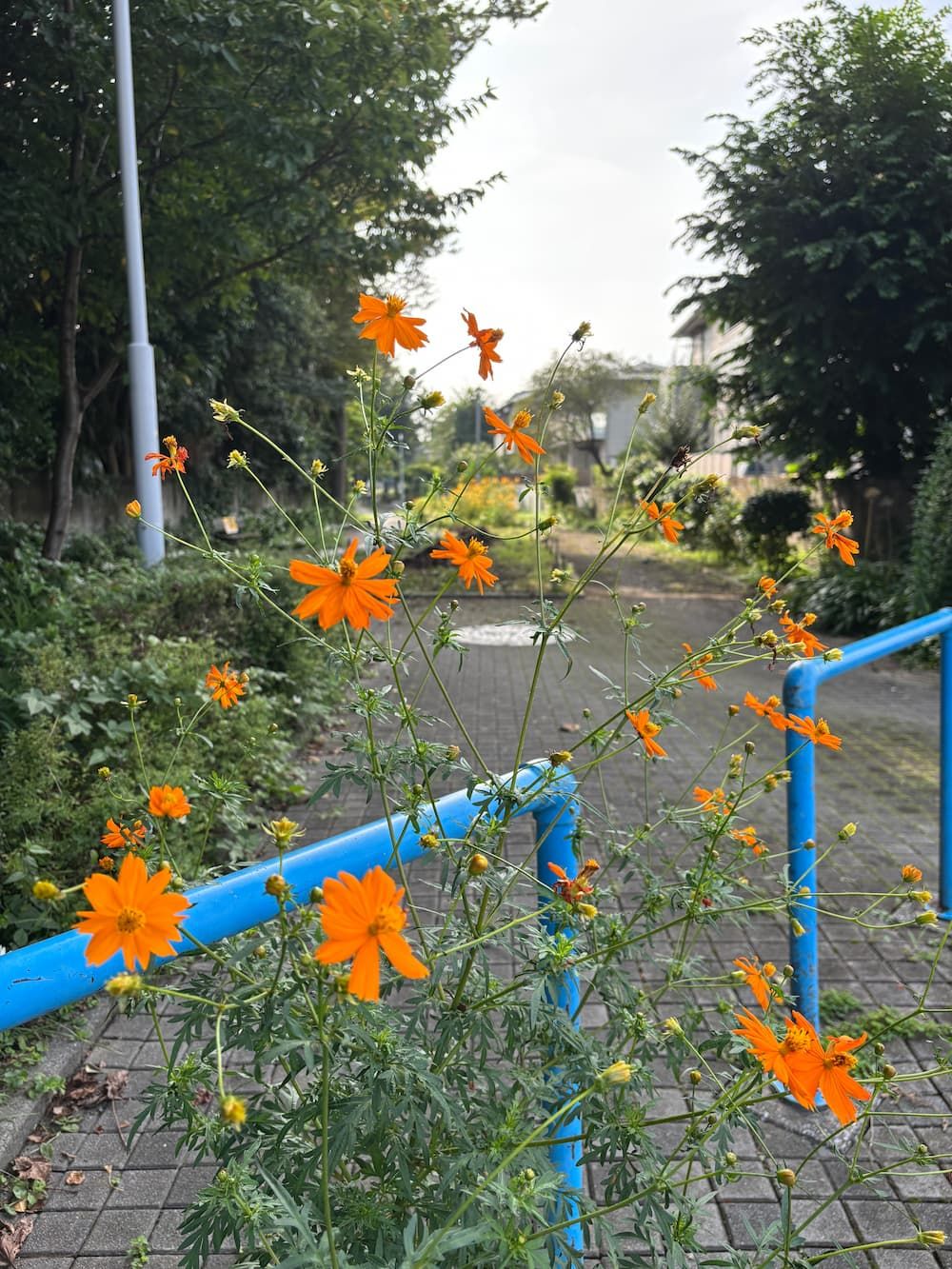
Before heading upstream along Nakamaruko-bori, I followed another former waterway that once joined it around here.
The season had already begun to change.
The loud chorus of cicadas was gone, and in the quieter surroundings, I could hear birds singing.
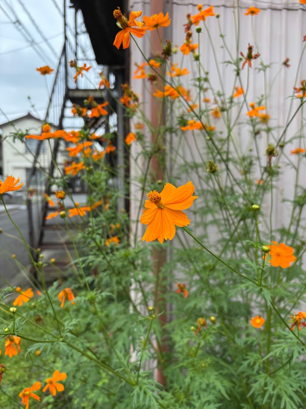
Cosmos flowers were also in bloom.
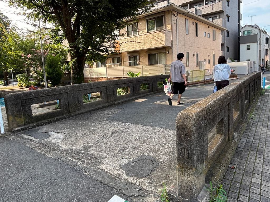
Walking along the greenway, where local residents tend seasonal flowers, I unexpectedly came across the railing of an old bridge.
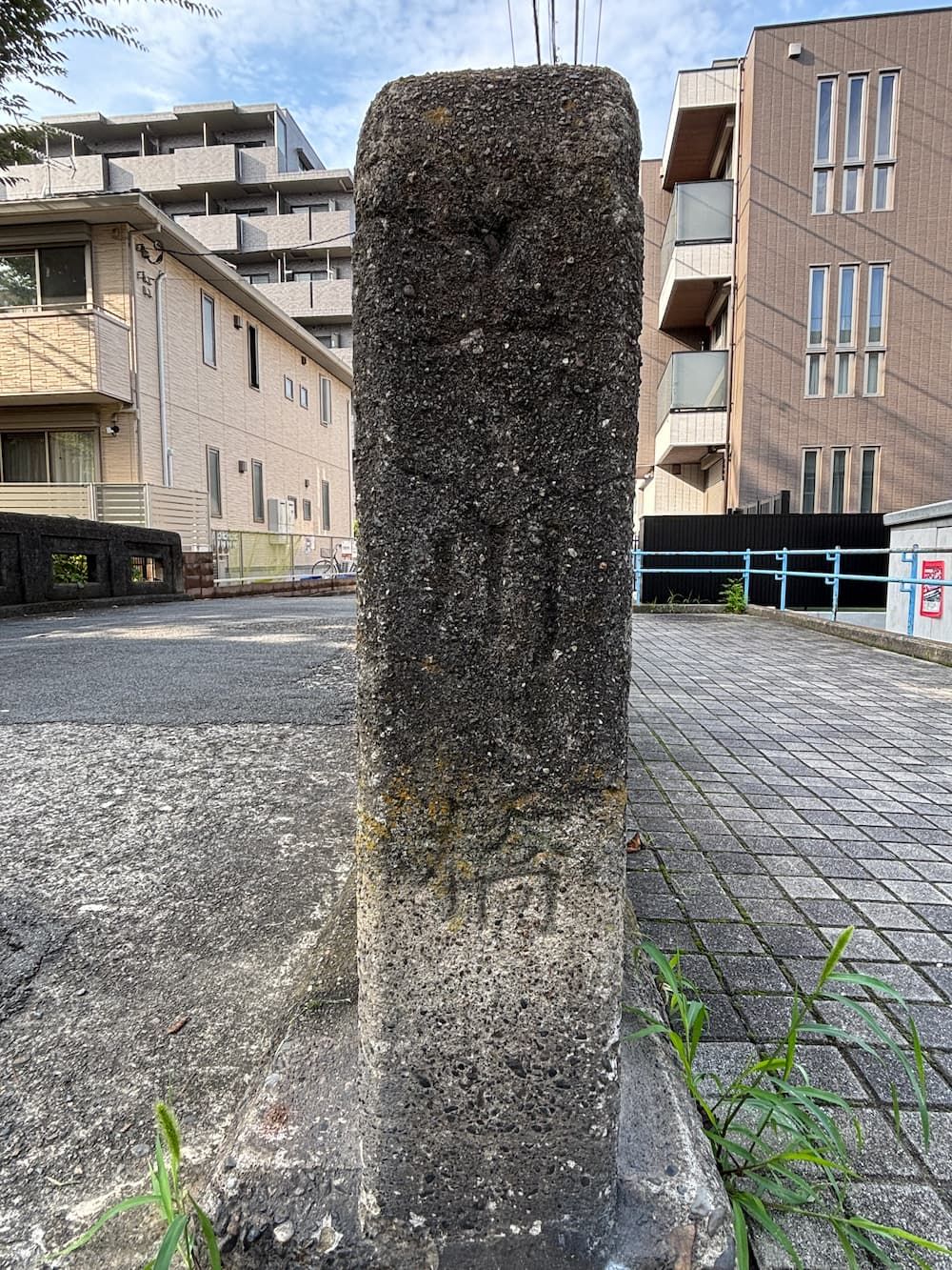
The name “Gyokusen Bridge” (玉川橋) is inscribed on the concrete railing.
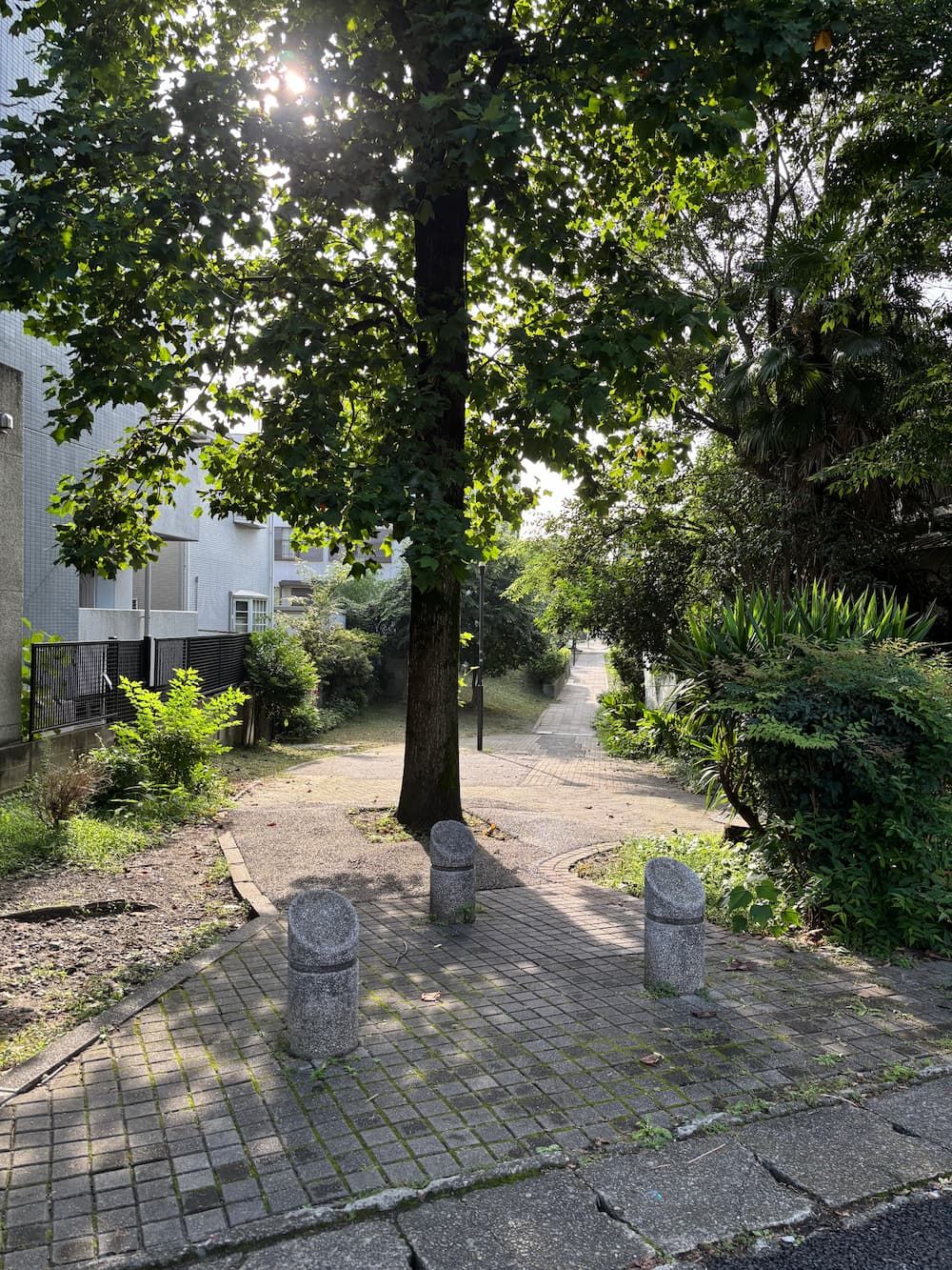
I crossed the bridge and continued walking upstream.
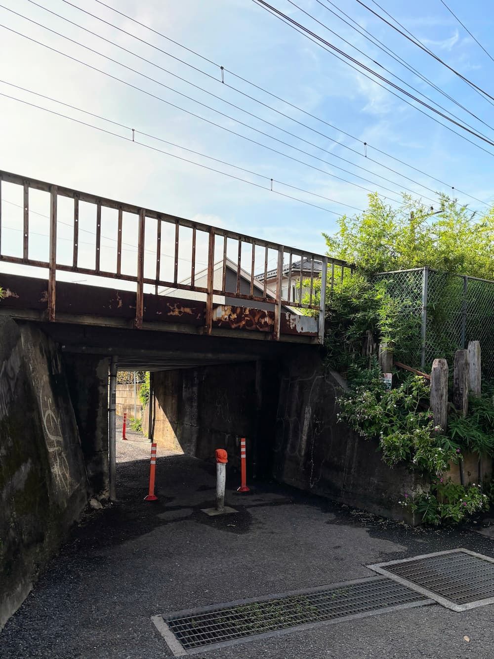
I found a remnant from when the Nambu Line once crossed over the river.
The passage underneath is surprisingly narrow and low for a person to walk through.
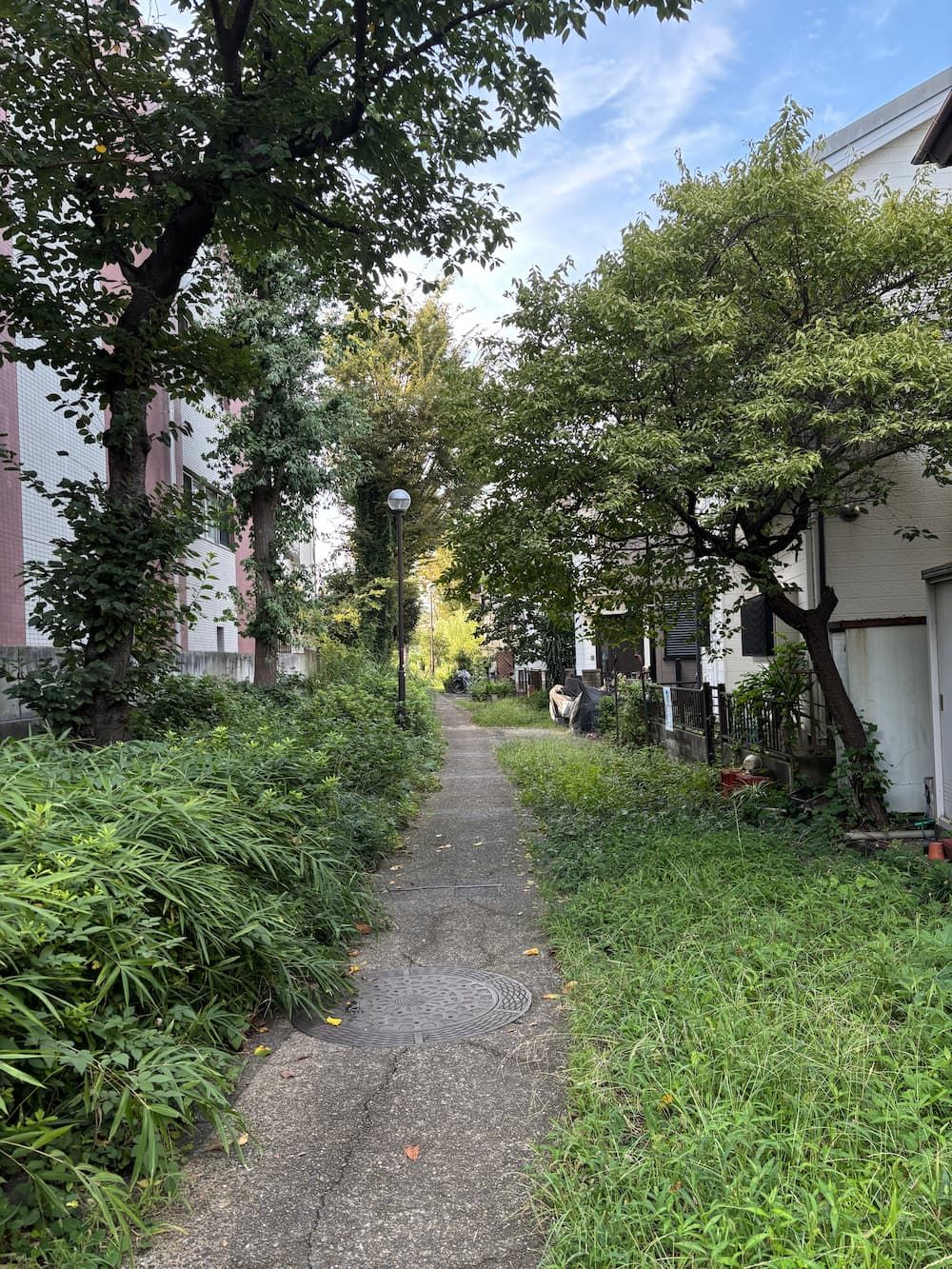
I returned to Nakamaruko-bori and continued walking upstream.
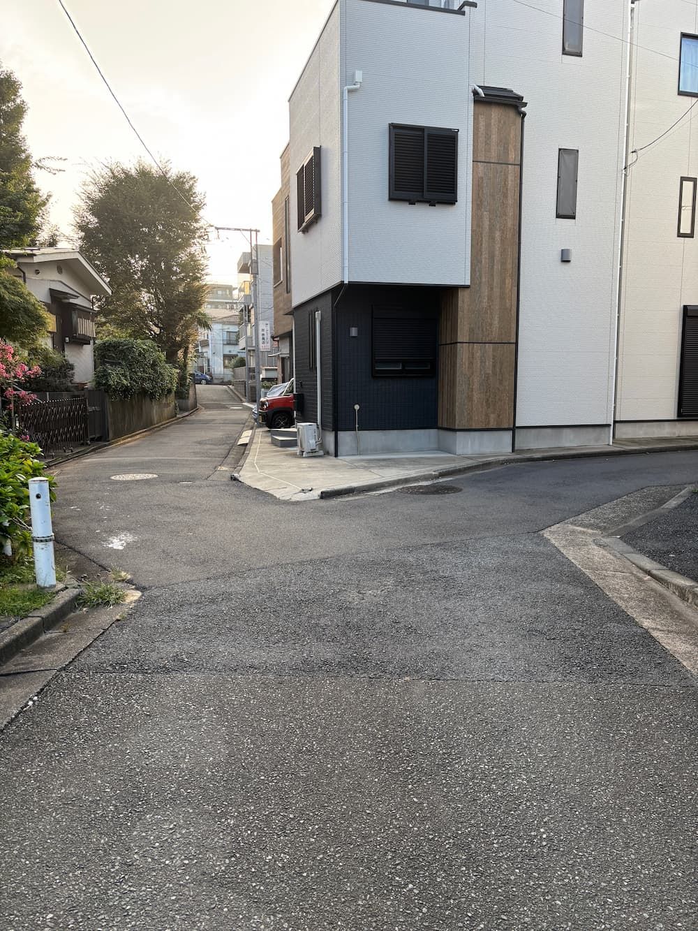
The confluence of the two waterways.
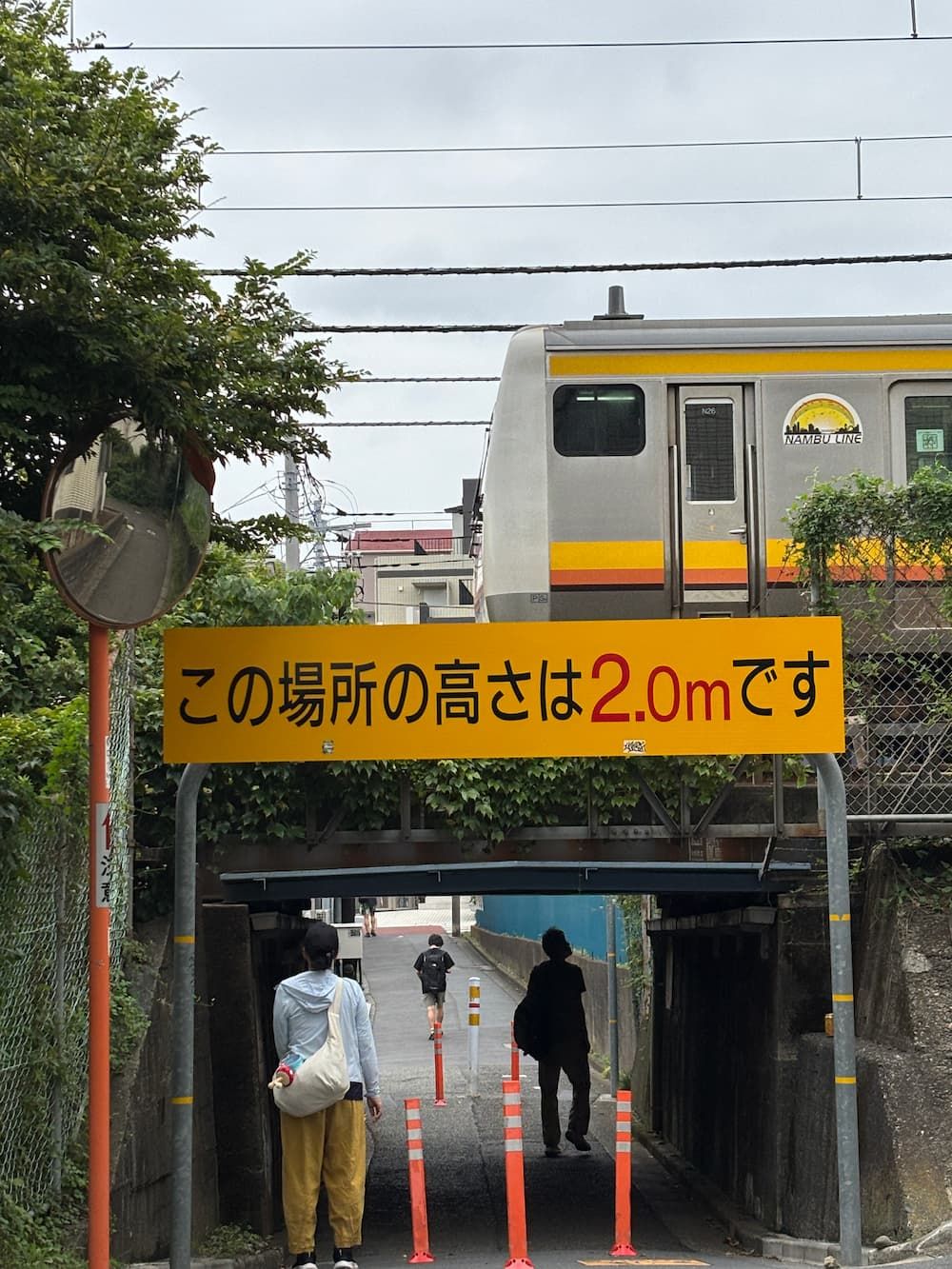
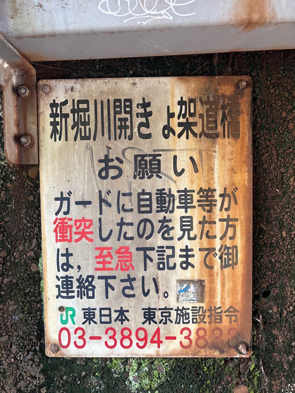
The wall of the railway bridge where the Nambu Line crosses the waterway bears the name “Shinborigawa Open-Channel Bridge.”
The bridge was built in 1927, when the Nambu Railway first opened, to carry the railway tracks over an open waterway.
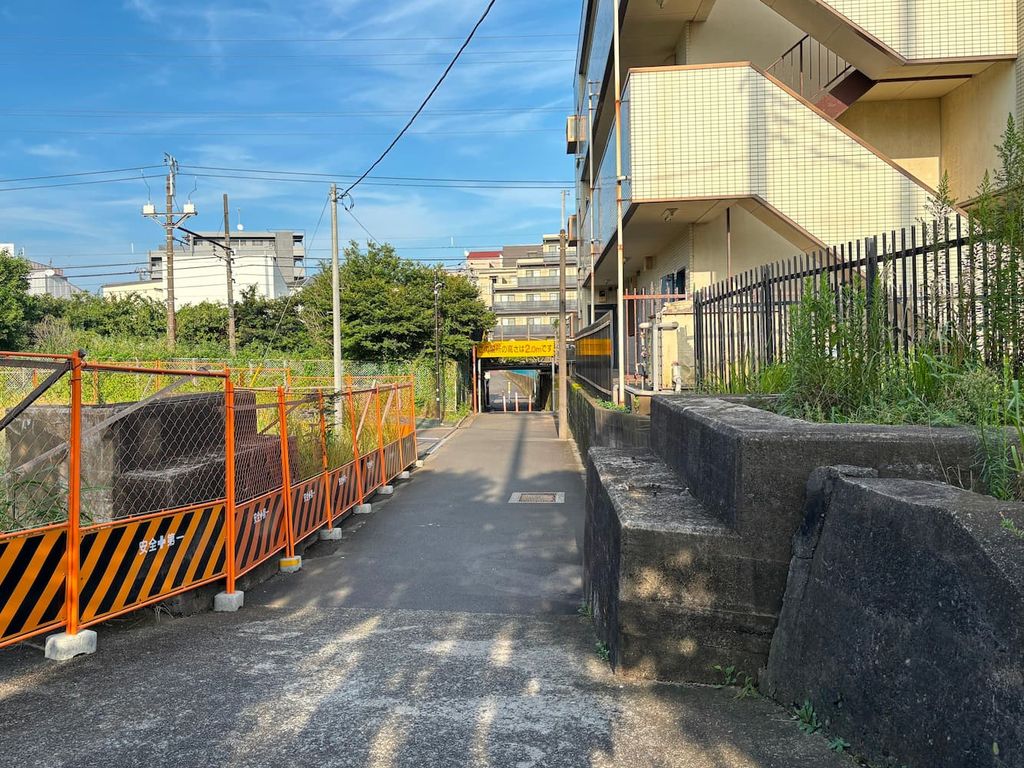
Passing under the bridge and walking a little farther, I came across a fascinating spot where the traces of a buried waterway and an abandoned railway line intersected.
Discovering this unexpected connection between two pieces of the past was a real thrill.
The railway was once known as the Ichinotsubo Connecting Line. It branched off near Mukaigawara Station and connected the Nambu Railway with the Japanese National Railways network.
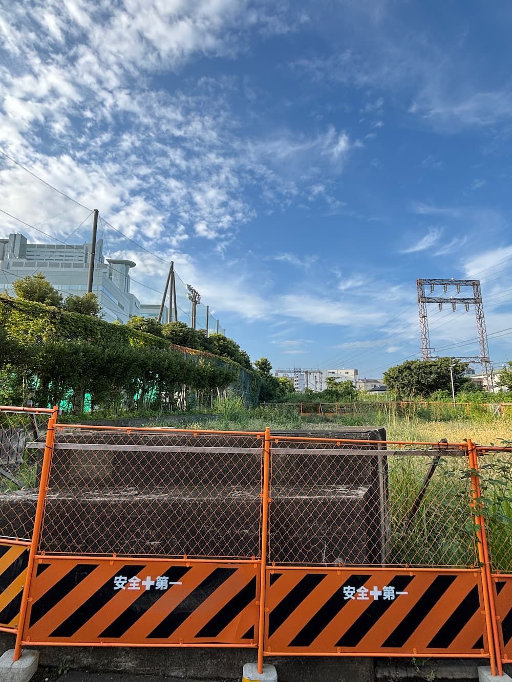
The bridge abutment still stands.
There used to be a nursing home here, but it had been demolished, apparently to make way for a new electrical substation.
I wonder if the bridge abutment, now standing alone on the cleared site, will eventually disappear too.
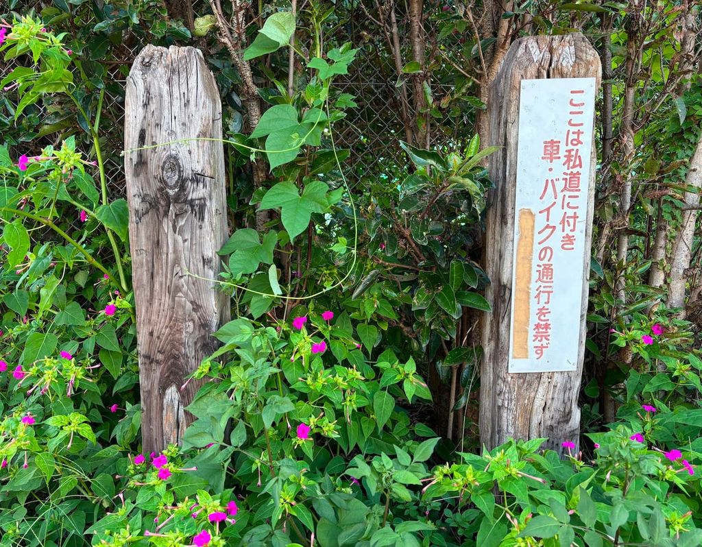
Along the former connecting line, an old fence made from railroad ties still remained.
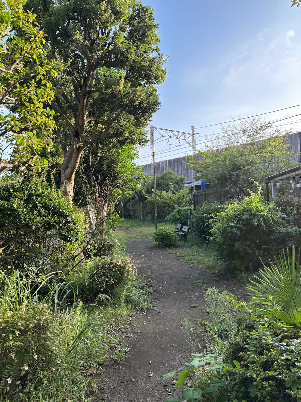
The former connecting line has been turned into a greenway maintained by local residents.
After walking along it for a while, I reached the point where it once joined the Hinkaku Line.
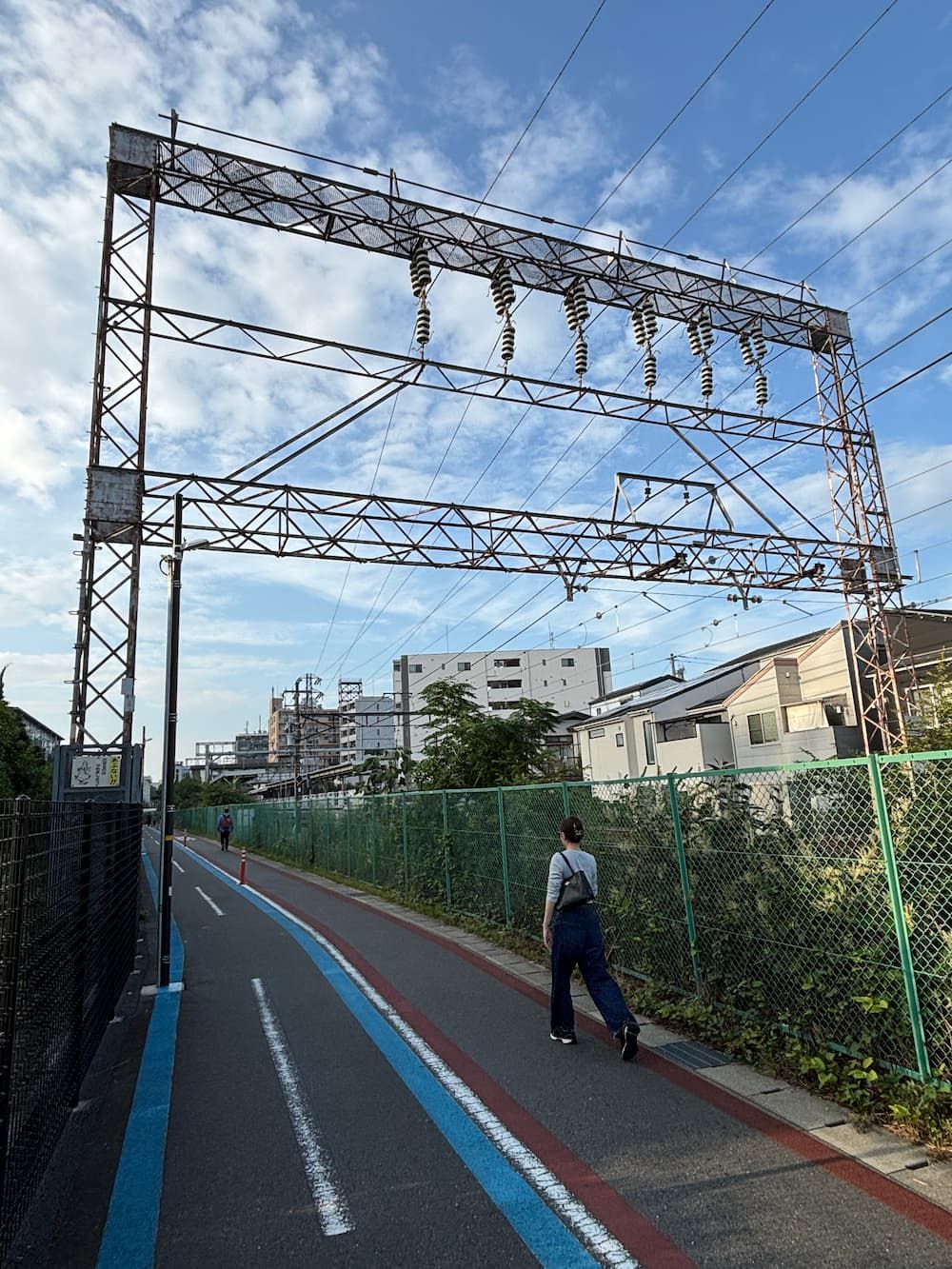
I retraced my steps and headed toward Mukaigawara Station.
As I approached the station, I noticed that the path passed directly beneath a large catenary gantry.
It seemed that the former connecting line had been turned into a pedestrian path.