Jakuzure River(蛇崩川)April 30, 2025

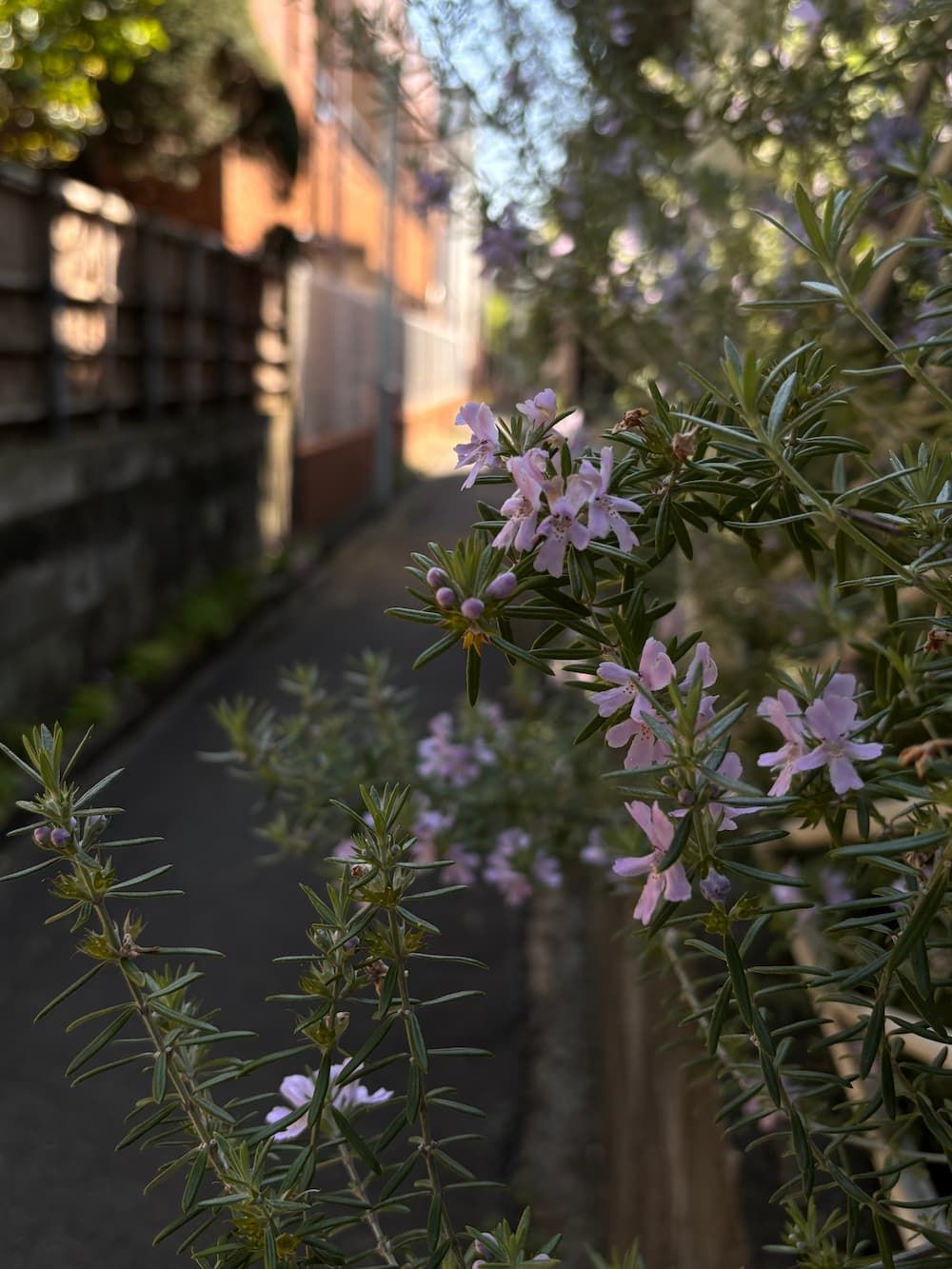
A flower I don’t know the name of, found while tracing the path of the Jakuzure River.
Where I Walked
Google Maps sometimes doesn’t show crosswalks correctly when plotting a walking route, so a few sections end up with unnecessary detours.
I was curious about the name of the river, so I looked it up.
The name “Jakuzure” (蛇崩) literally means “snake collapse”.
It’s an unusual and evocative name — written with the kanji for snake (蛇) and collapse or crumble (崩).
Jakuzure (蛇崩) is thought to be connected to floods and landslides, and there are a few different theories about its origin.
One popular legend says that during a great flood, a cliff collapsed and a giant snake emerged from it. Another theory is that the winding shape of the river resembled a snake, inspiring the name.

The Jakuzure River flows into the Meguro River from the left, just where the Meguro River passes beneath Nakameguro Station.

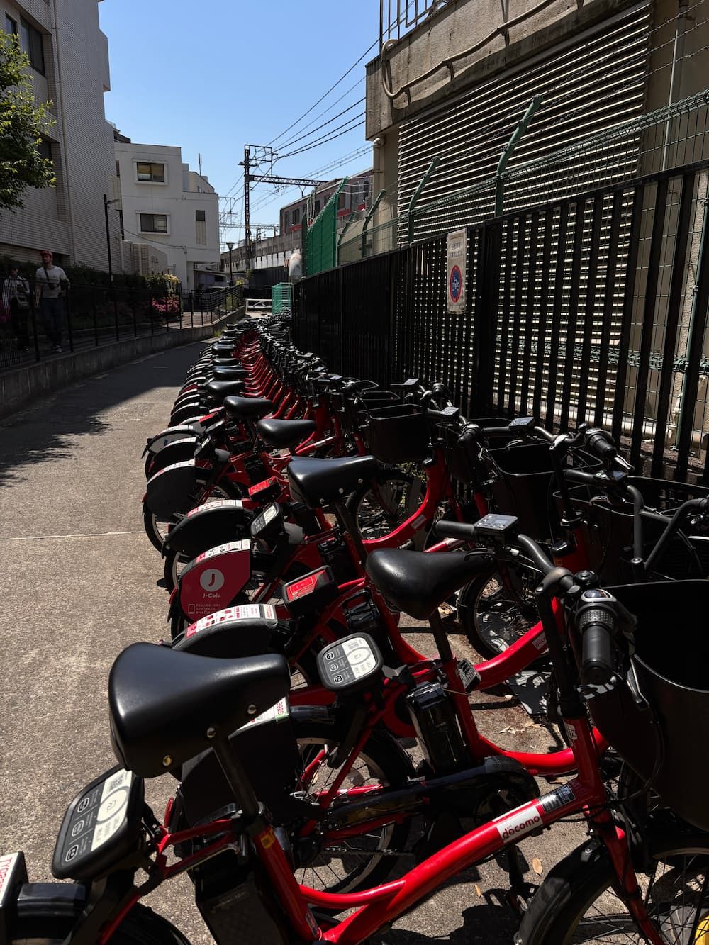
The bicycle parking area beneath the station looks like a continuation of the river itself.
Its name is Kannon-bashi(bridge) Bicycle Parking Lot — a name that quietly hints at the river’s presence.

At this spot, the river appears to flow under the Tōyoko Line, but a smaller stream joins it from the left — so I chose to follow that tributary first.

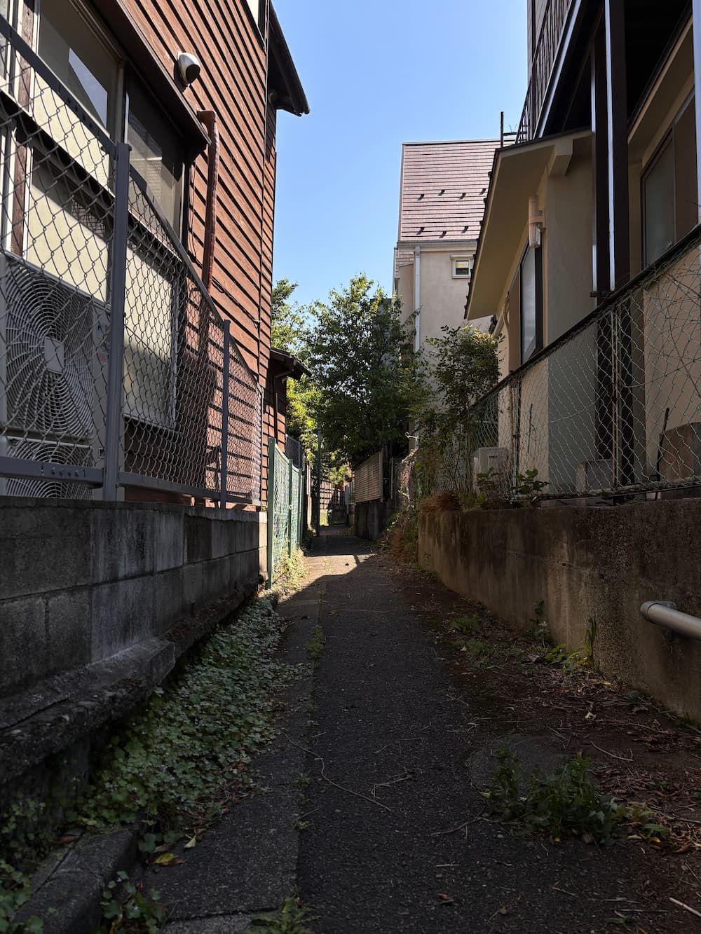
I think I’ve found it — a slim stretch of space tucked between buildings.
Maybe it was once a river.
That little thrill when something clicks — that’s what makes these walks so fun.

The river reaches the shopping street and turns right.

Just after turning left off the shopping street, I found a winding path that looked like the trace of an old river.

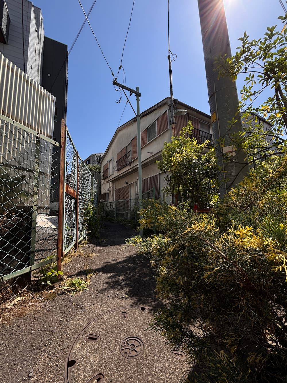
The river trace came to a dead end at a house — but looking more closely, I noticed a narrow strip of land continuing between the buildings.
However, I couldn’t find any more signs of the old waterway beyond this point.

The path ends at the base of a slope, so this area might have been the source.
In a construction site below the cliff, water had pooled — though I couldn't tell whether it was just rainwater or natural spring water.

The trees above the slope are part of Isewaki Park and Kamimeguro Tenso Shrine.

I returned to the confluence, walked under the railway, and picked up the trail of the Jakuzure River again.
The sidewalk on the left follows the path of the old river.

A short walk ahead, I found a road running slightly above the old riverbed, lined with cherry trees.
I wonder if the cherry blossoms were already blooming here back when the river still flowed in the open.

The river separates from the main road and flows between houses.
It seems there used to be a bridge here called Suwayama-bashi.


I came across an old apartment by the river — a type of building that's becoming harder to find these days.

I found another tributary flowing into the Jakuzure River, so I decided to turn left and follow it.
I can’t help but be drawn to those narrow, winding paths where you can’t see what’s ahead.


I reached a staircase blocking the way.
The river clearly went on beyond this point — but how did it flow here, long ago?


The river splits into two branches here.
A parking lot full of small silver cars sits right at the fork.
I decided to follow the narrow path to the left.


I followed the river’s path for a while, where sun and shadow took turns across the way, until I reached the Tōyoko Line overpass.
The river flows quietly beneath it, continuing on.

After passing under the tracks, I ended up on an ordinary street.
I looked around — and there it was, the river trace!
Unfortunately, it seems I couldn’t go any farther from here.
I snapped a photo of the old riverbed through a gap in the chain-link fence.

Using the map as a guide, I searched for where the river might be flowing between houses — and found another spot where it crosses the road.
This photo was taken from the upstream side.
From here, the river extends just a little farther, and it seems the nearby elementary school marks the uppermost point.
Unfortunately, I couldn’t find any visible trace of the river beyond this spot.